A WXII report this week declared a Weather Impact Day for North Carolina's Triad — the Greensboro, Winston-Salem, High Point corridor — warning that extreme afternoon heat could generate severe thunderstorms with significant wind damage by late in the day. That's not a generic weather alert. It's a specific meteorological pattern that NC households should understand, because it changes how you prepare on the day itself, not just in some abstract future.
What's actually happening with heat-triggered storms
The mechanism is worth knowing. When surface temperatures spike into the mid-to-upper 90s across the Piedmont, the atmosphere becomes unstable rapidly. Convective energy builds through the morning. By late afternoon, that instability can release as fast-moving lines of thunderstorms — sometimes called a derecho pattern — that bring straight-line winds rather than tornadoes. Wind damage from these events is often underestimated by households because there's no rotating funnel to watch for. A 70 mph gust looks like nothing on radar until your fence is in your neighbor's yard and your power is out for four days.
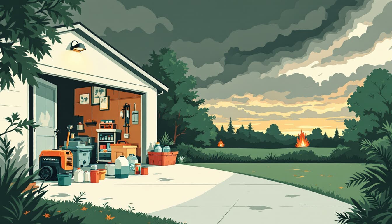
Duke Energy and Dominion Energy North Carolina, the two dominant utilities across the Triad and surrounding Piedmont counties, have both recorded their longest residential outages during summer wind events, not winter ice storms. That's the historical pattern here. The risk isn't the storm itself — it's the 96-degree day on the other side of it, with no air conditioning and a refrigerator full of food.
What we'd actually do before this evening
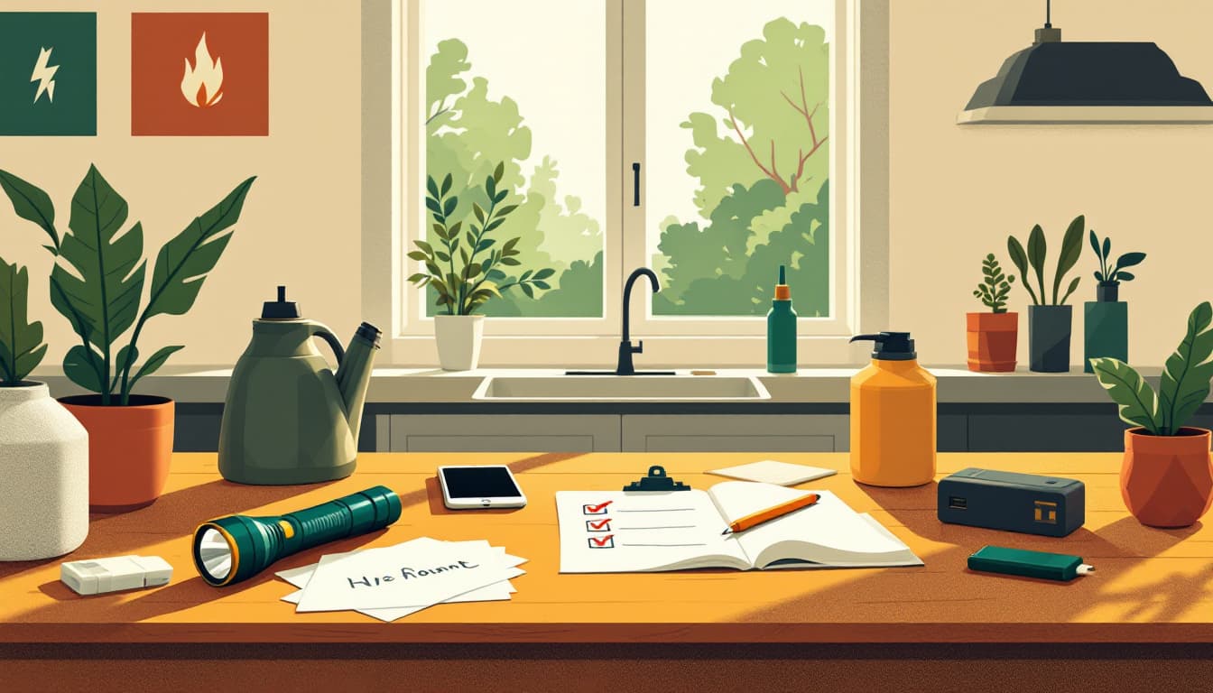
Charge everything now, while the grid is stable. Phones, laptops, portable battery banks, hearing aids — anything that runs on a battery should be at 100% before noon. A full phone is a free early-warning system and a navigation device if roads are blocked. This costs nothing and takes five minutes.
Most households wait until the power is already flickering to think about this. By then your battery bank is at 40% from last weekend's camping trip and your laptop is at 55%. The grid rarely goes out at 2 a.m. in these events — it goes out at 6:30 p.m., which is exactly when you need to make dinner and check on elderly relatives.
Move your car into a garage or away from large trees by 3 p.m. Wind-damage insurance claims in NC spike after these late-day convective events, and the majority involve vehicles hit by falling limbs or whole trees that were structurally compromised by last summer's drought stress. In the Triad, many neighborhoods have older hardwoods — oaks and pines — that look fine until they don't. This is a five-minute action with real financial consequences if skipped.
Fill a cooler with ice now. If you lose power tonight, everything in your refrigerator is safe for roughly four hours with the door kept closed. A chest cooler with a 10-pound bag of ice extends that window significantly and protects the items that matter most: insulin, infant formula, medications that require refrigeration. A bag of ice costs under $3. This is the most underused piece of summer storm prep in the South.
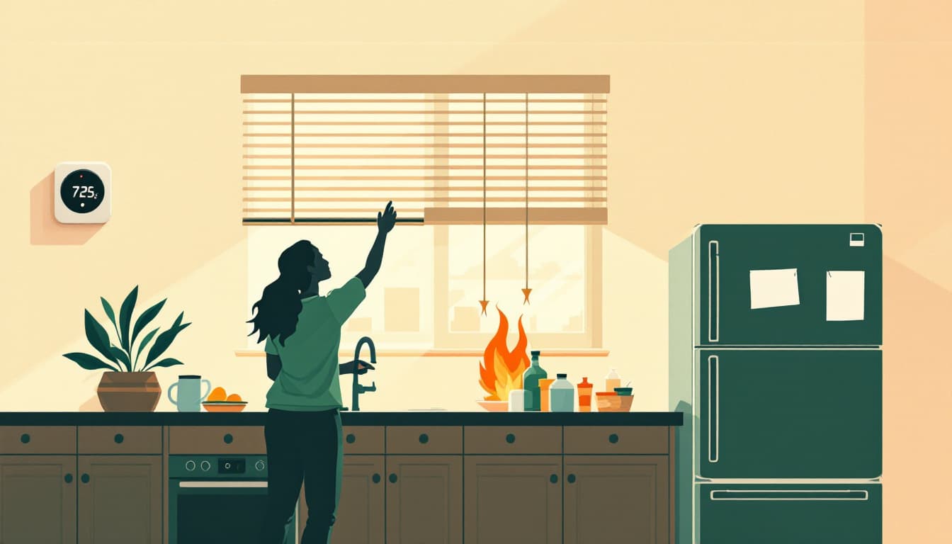
Know your household's heat threshold before the power goes out. If you have infants, adults over 65, or anyone with a cardiovascular or respiratory condition, identify your cooling plan now — not at 10 p.m. when the house is at 85 degrees. The closest NC cooling shelter locations are listed through county emergency management offices; Guilford, Forsyth, and Alamance counties all maintain updated shelter registries during heat events. Find yours before you need it.
Trim or note the specific limbs that worry you. You probably can't do significant tree work today. But you can take two minutes to look at what's hanging over your roof, your car, and your power line connection point. That observation matters for your insurance claim if something falls, and it informs whether you park inside or move a vehicle to the street.
The bigger picture
North Carolina's Piedmont sits in a climate band where summer storm intensity has been trending upward — hotter afternoons mean more convective fuel, which means more frequent late-day severe events. That's not a reason to panic. It is a reason to treat Weather Impact Days seriously rather than as routine forecast noise.
Durability as a household looks like this: you don't wait for the alert to charge your phone. You don't learn your cooling shelter location during a heat emergency. You know which trees you'd move your car away from. None of that requires a bunker or a generator that costs $3,000. It requires fifteen minutes of attention on a morning like this one.