A WITN forecast segment this week on extreme heat domes is worth more than a quick scroll past. Eastern North Carolina — the Coastal Plain running from Greenville down through Goldsboro and Rocky Mount — sits in a geography that amplifies heat events: flat terrain, high humidity, limited tree canopy in many neighborhoods, and an aging housing stock that was not built with 100°F+ heat indices in mind.
Heat domes are not rare weather curiosities anymore. They are a recurring summer feature, and the question for a North Carolina household is not whether one will arrive but whether your home, your family, and your neighborhood have the capacity to ride one out safely.
What's actually changing
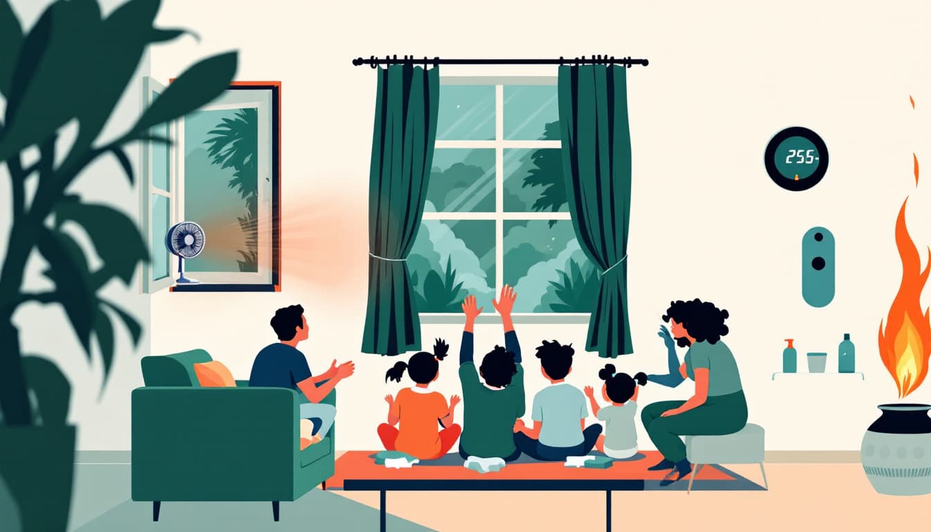
A heat dome is a high-pressure system that traps hot air and suppresses convective cooling. It stops normal overnight temperature recovery — the hours between midnight and 6 a.m. when houses shed the day's heat. When nighttime lows stay in the low 80s for three or four consecutive nights, indoor temperatures in un-air-conditioned or poorly insulated homes can climb above 85°F before noon the next day.
The compounding risk in North Carolina is grid stress. Duke Energy Progress and Duke Energy Carolinas both serve large portions of the state, and multi-day heat events push residential and commercial demand simultaneously. Recent summers have produced brief rolling conservation requests across the Carolinas. A prolonged heat dome — five or more days — raises the realistic probability of localized outages, particularly in older distribution circuits in rural Piedmont and eastern counties.
The other risk that rarely appears in forecasts: medication storage. Many common medications — insulin, certain heart drugs, some psychiatric medications — have narrow temperature thresholds. A house that climbs to 90°F indoors is not just uncomfortable. For some households, it becomes a medical supply problem within 24 hours.
What we'd actually do
Locate your county's cooling center before you need it. Every North Carolina county activates cooling centers during heat emergencies, typically through county emergency management or social services, but the lists are not always easy to find under pressure. Search your county name plus "cooling center" and "NC emergency management" now, save the address in your phone, and share it with elderly neighbors who may not be looking.
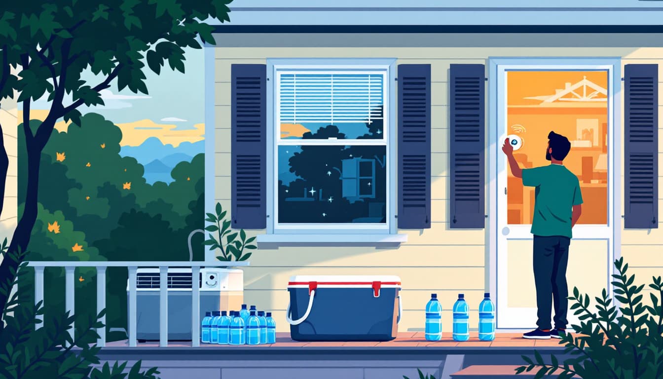
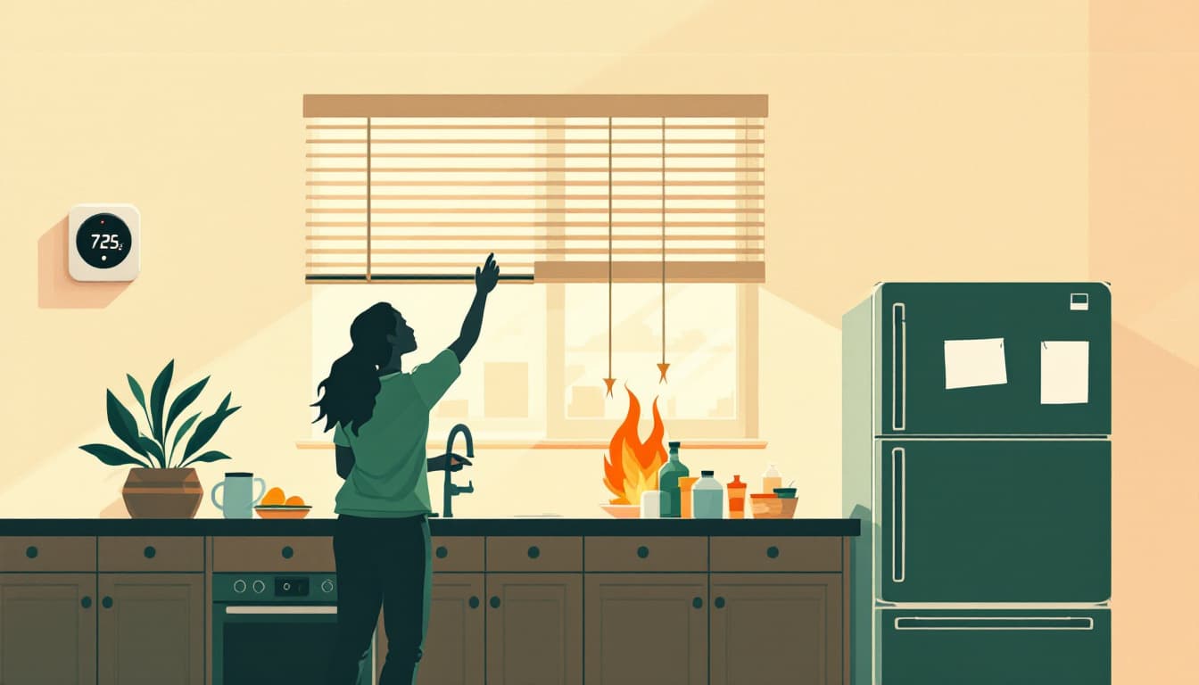
Pre-cool your house the night before a forecast heat dome, not the morning of. Air conditioning is most efficient when it is maintaining a temperature rather than recovering from a spike. If a multi-day heat event is forecast starting Thursday, run your AC to 68°F or lower on Wednesday night and close blinds on south- and west-facing windows before dawn. This gives you a thermal buffer of several degrees that costs very little to create and a great deal to recover once lost.
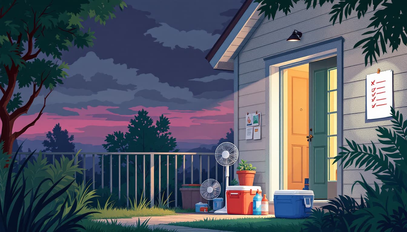
Audit your battery and backup situation for a realistic 18-hour outage. A full generator is not necessary for most families to survive a heat event safely. What is necessary: a way to keep one room tolerable, charge medical devices, and preserve critical medications. A mid-size battery station — enough to run a small window unit or a powerful fan for several hours — plus a 12-volt cooler for medications is a more achievable and affordable target than a whole-home generator. Check what you have now, not when the outage starts.
Talk to anyone in your household who takes temperature-sensitive medication. Call their pharmacy and ask specifically: what is the storage limit for this drug, and what do we do if we lose power for 24 hours? Most pharmacists will walk through this clearly. Document the answer. Some medications have more flexibility than the label implies; others have almost none.
Fill your car with gas and keep two gallons of water per person accessible before a forecast event. This is not panic-buying. It is the same logic as filling a gas tank before a hurricane — high demand at stations during a crisis is predictable, and avoiding it costs nothing.
The bigger picture
North Carolina's climate is not becoming more dangerous in a linear, steady way that allows for gradual adjustment. It is becoming more episodic — punctuated by discrete high-impact events separated by ordinary weather. That pattern rewards households that maintain a baseline level of readiness rather than scrambling to prepare when the forecast map turns red.
The goal is not a bunker. It is a house that can absorb a five-day heat event without a medical emergency, a ruined supply of insulin, or a desperate run to a gas station at 4 a.m. That level of durability is achievable for most families, at low cost, this weekend.