The National Weather Service doesn't issue a Tropical Storm Watch because conditions might get a little wet. A watch means tropical-storm-force conditions — sustained winds of 39 mph or higher, and in Louisiana's case, the compounding threat of prolonged, heavy rainfall over ground that is already saturated from a wet spring — are possible within 48 hours.
A fox8live.com report this week confirmed the watch is in effect and that Louisiana is looking at flooding rain over multiple consecutive days. That second detail matters more than the wind number for most households south of I-10.
What's actually happening here
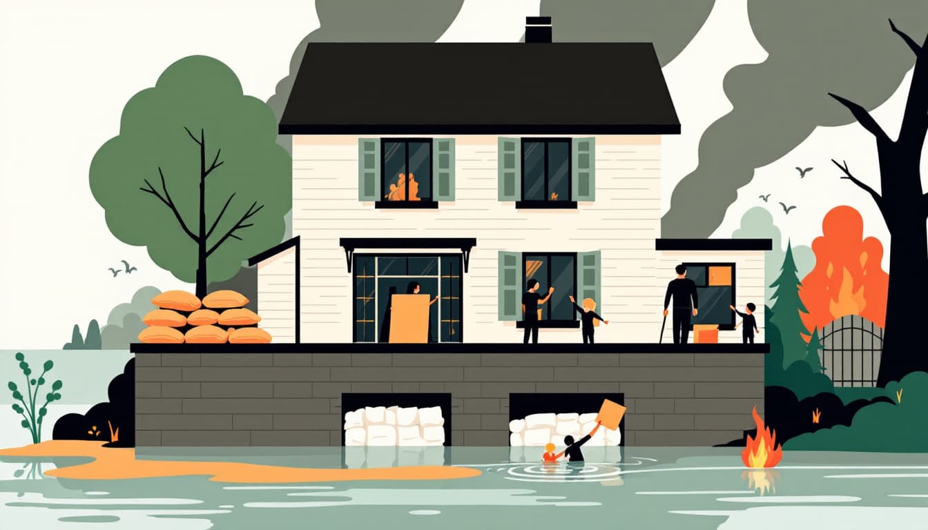
A tropical storm watch affecting Louisiana is a specific bureaucratic signal, not a headline to scroll past. It means the watch area spans coastal parishes and potentially well inland — anywhere the Atchafalaya basin, Lake Pontchartrain drainage, or the Red River corridor can back up. Multi-day rain events are categorically different from a single afternoon of thunderstorms. Soil saturation accumulates. Drainage systems hit capacity. Roads flood that don't normally flood. The Louisiana Governor's Office of Homeland Security and Emergency Preparedness (GOHSEP) typically activates its Emergency Operations Center for events of this scope — check gohsep.la.gov for current activation status and parish-level guidance.
The failure mode for most Louisiana families during these events isn't dramatic. It's mundane: the car stalls in six inches of water that appeared in 20 minutes, or the power goes out for four days in June heat, or the household ran out of prescription medication because "it didn't look that bad."
What we'd actually do
Check your parish's flood zone designation today, not the morning of. FEMA's Flood Map Service Center at msc.fema.gov shows your specific parcel's flood zone. Zone AE in St. Tammany or Terrebonne parishes means something different for insurance and evacuation decisions than Zone X in Bossier City. If you don't know your zone, you are making uninformed decisions about whether to stay.
Fill prescriptions and refuel vehicles now. Pharmacies and gas stations along evacuation corridors — I-10, I-55, US-90 — experience runs within hours of a watch upgrade to a warning. A 72-hour supply of any critical medication is the minimum. Louisiana's geography means that if you need to move, you may be driving two to four hours to clear the flood risk zone entirely.
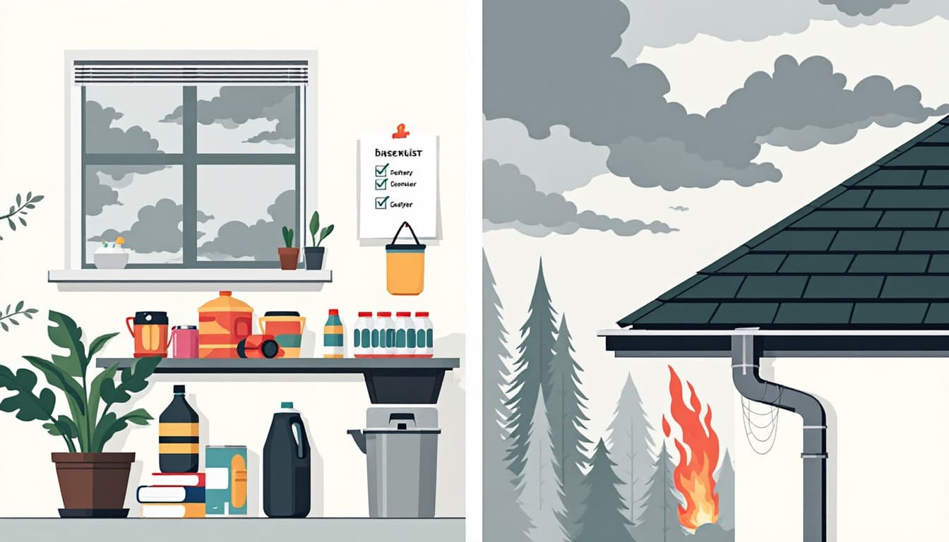
Move what's irreplaceable up one floor. In southeast Louisiana slab homes, this means staging important documents, a hard drive or USB backup of photos, and any irreplaceable paper records onto a high shelf or second floor tonight. Not tomorrow. Flooding can move faster than your willingness to believe it will.
Test your sump pump, generator, and flashlights before the rain starts. A generator that hasn't run since last fall will fail at 11 p.m. on the second day of the storm. Run it for 30 minutes under load today. If your neighborhood sits low — Metairie, Chalmette, large sections of Baton Rouge's older neighborhoods — a working sump pump connected to a generator circuit is not optional infrastructure.
Know your parish's contraflow and shelter-in-place triggers. Louisiana State Police activates contraflow on specific highway segments based on storm track. Those decisions happen fast. The DOTD contraflow plan is publicly posted and worth a five-minute read so you're not learning the on-ramp reversal logic during an evacuation. Similarly, know your nearest shelter — typically the parish-designated mega-shelter, not a school gym — if you don't have the option to leave the region.
The bigger picture
Louisiana households that live here long enough develop a calibrated sense of when to move and when to wait. That calibration is earned, and it's generally sound. But multi-day flood events test it in a specific way: the decision feels less urgent on day one, so people delay, and then the decision window closes. The goal isn't to evacuate for every Tropical Storm Watch — that would be exhausting and expensive. The goal is to get your household into a position where you can make a clear-eyed call by noon tomorrow, with a full tank of gas, your medications in a bag, and your documents off the floor.
Durability in coastal Louisiana isn't about surviving one apocalyptic storm. It's about not making the same avoidable mistake twice.