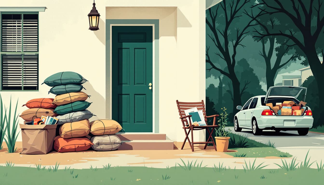
A WDSU report flagged increased flood risk across Louisiana this weekend, classifying it as an "Impact and Alert Day" event. That designation matters. It's not a generic weather caution — it means forecasters see a meaningful probability of water moving into areas that don't flood every storm cycle.
Louisiana averages more than 60 inches of rainfall per year, and the state's combination of low elevation, clay-heavy soils, and aging drainage infrastructure means the margin between "heavy rain" and "water in the house" is thinner than most households account for. That margin gets thinner in summer, when saturated ground from earlier rain events has nowhere to send new water.
What's actually happening
Flash flooding in Louisiana doesn't always follow the pattern people expect. It's not just about bayous overflowing or storm surge from the Gulf. In Baton Rouge, Metairie, Kenner, and large parts of the north shore, street flooding from overwhelmed drainage systems is the more common culprit. Water rises faster than most families have time to react, and the WDSU alert suggests this weekend's rain pattern has the intensity and duration to push drainage systems past capacity in vulnerable neighborhoods.
The alert also matters because July flooding is often underestimated. Hurricanes get the attention, but slow-moving summer rain bands — stalling over the same parishes for hours — account for a significant share of Louisiana's flood damage claims. These events don't come with days of warning. They come with hours.
One more honest note: if your home sits in a FEMA-designated AE or X flood zone, this weekend's rain may or may not affect you specifically. Flood risk in Louisiana is hyperlocal. A neighborhood three blocks away can stay dry while yours floods. Check your specific address against the FEMA Flood Map Service Center and pull up the Louisiana Governor's Office of Homeland Security and Emergency Preparedness (GOHSEP) dashboard before Friday night.
What we'd actually do
Move your car tonight. If you park on a street or in a low-lying driveway, move it to the highest available ground before the event hits. This is the single fastest, zero-cost action Louisiana households ignore until it's too late. Flood-damaged vehicles are the most common and most expensive loss families report after a street-flooding event. A ten-minute decision made Thursday can save a $3,000 insurance deductible.
Locate and test your sump pump — or know that you don't have one. Many Louisiana homes, particularly slab-on-grade construction common in the greater New Orleans metro, don't use sump pumps. If you have a below-grade garage, a raised foundation with crawl space, or a basement (rare but present in north Louisiana parishes), find the pump, plug it in, and run it for 30 seconds to confirm it turns over. A pump that fails during the event is the same as no pump. If you don't own one and flooding is a recurring issue for your address, a submersible utility pump runs $60–$100 at most regional hardware stores and stores in a closet.
Pull your important documents and put them in a waterproof bag or a high shelf. Insurance policies, vehicle titles, birth certificates, and Social Security cards should not be in a filing cabinet on the floor. A gallon zip-lock bag inside a plastic bin on a shelf six feet off the ground is enough. If you have a waterproof document box, use it. This takes fifteen minutes. After a flood, proving ownership and identity is what separates a fast insurance claim from a three-month ordeal.
Photograph the interior of your home before the rain starts. Walk through every room with your phone and take wide-angle shots of furniture, electronics, and appliances in place. Text them to yourself or upload to cloud storage. If you file a claim, this documentation is worth far more than a verbal description. The Louisiana Department of Insurance has noted repeatedly that claims with pre-event photo documentation resolve significantly faster than those without.
Know your evacuation route before you need it. If your parish issues a voluntary or mandatory evacuation order, the I-10 and I-12 corridors will congest within hours. Identify one alternate route now — Louisiana 22 north, US-90 west, or parish roads depending on your location — and make sure your gas tank is above half before Friday.
The bigger picture
Louisiana households live with flood risk the way most of the country doesn't. That familiarity can breed a particular kind of complacency — the "we survived Ida" or "we've seen worse" posture that leads families to sit out alerts that turn out to be serious. The goal here isn't fear. It's the small, durable habits that make flooding survivable at the household level without depending on perfect warning time. A weekend alert is a useful forcing function to close gaps you already knew existed.
Check GOHSEP's Ready Louisiana resources and your parish emergency management page for real-time updates through the weekend.