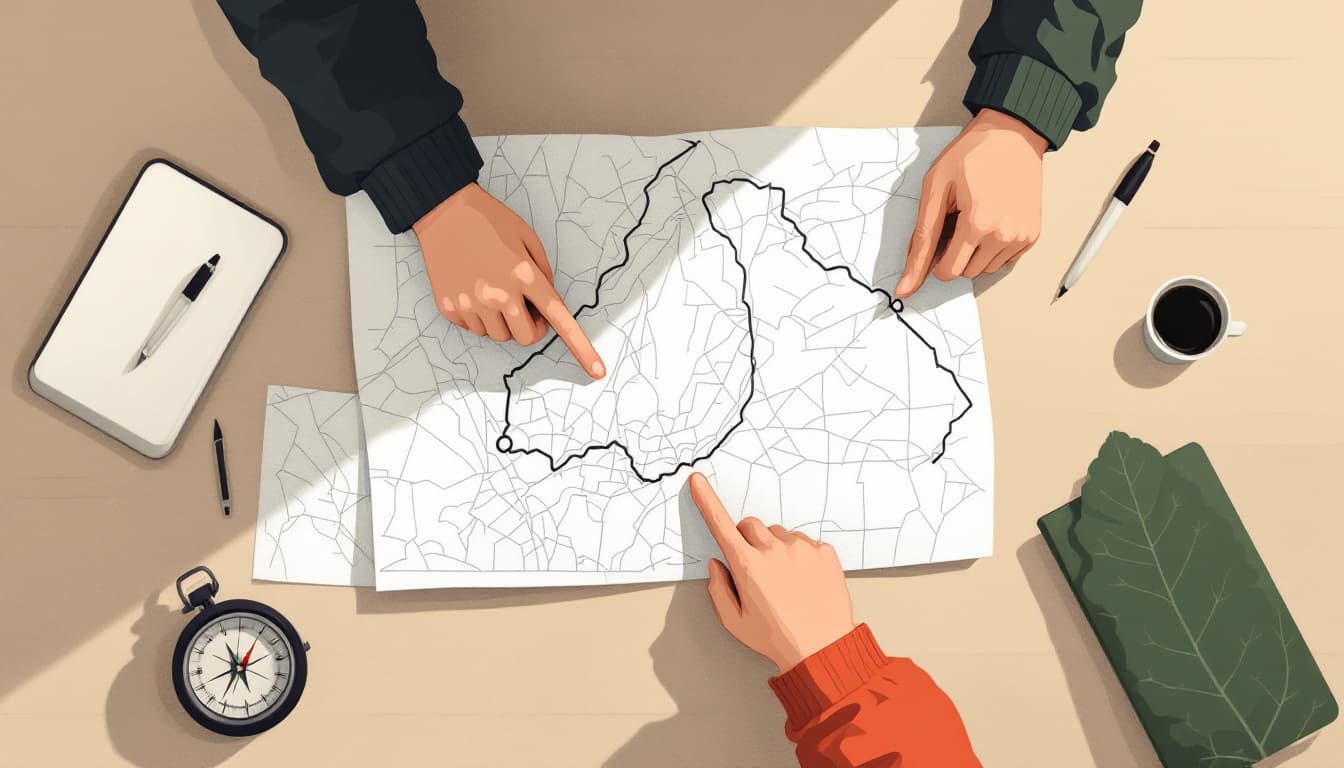
Pull up Google Maps and ask it to route you to the nearest hospital from your home. Now close the app, put your phone face-down, and try to describe that route in plain English — turns, landmarks, approximate distances. Not the street names as cues to look for, but the actual spatial relationship between where you are and where you need to go.
Most adults in households that consider themselves reasonably prepared cannot do this. Not for a hospital. Not for the fire station. Not for a family member's house two towns over. They can follow a route in real time, but they have not built a mental model of their own geography. That distinction sounds trivial until the signal drops, the battery dies, or — more commonly — they are stressed, disoriented, or driving somewhere unfamiliar after dark in bad weather, and the app picks that exact moment to recalculate into a neighborhood they don't recognize.
This is not a survivalist concern. It's a basic competency that most of us handed to a cloud server sometime around 2012 and never reclaimed.
What spatial literacy actually is
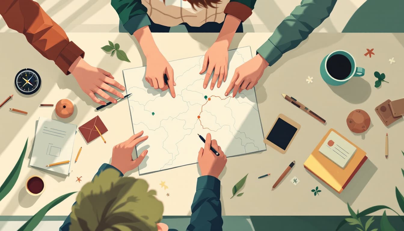
Navigating from a map is not the same as following GPS turn-by-turn. When you read a paper map, you are doing something cognitively harder and more durable: you are building a mental model of relative position. You know that the highway runs north-south, that the river is on your left, that the grid breaks at the railroad, that downtown is roughly eight miles behind you. This model persists even when conditions change. You can hand it to a passenger. You can update it on the fly. You can reason about alternatives.
Research on spatial cognition — including work cited in geography education journals going back to the early 2010s — has consistently found that passive navigation (following prompts) builds almost no transferable spatial knowledge. People who commute the same route daily via GPS often cannot sketch that route on paper with any accuracy. The mental map was never constructed. The app was constructed instead.
This is a reasonable trade most of the time. The problem is that the trade is invisible — you don't know you've made it until you need the skill you gave away.
Why this is harder than it sounds, and why that's the point
Learning to read a road atlas or a USGS topographic sheet is genuinely mildly difficult for adults who haven't done it. The projection takes a few minutes to orient to. Contour lines require practice to read as terrain. Even the simple act of figuring out where you are on a paper map — without a blue dot — requires triangulating landmarks, estimating distances, and checking yourself against road names.
That friction is exactly why the skill compounds under stress. Skills that feel slightly uncomfortable to build tend to produce durable mental models, because building them required active cognitive work. GPS navigation requires almost none. This is also why paper-map fluency transfers more broadly than it seems: it reinforces the general habit of knowing where you are in space, which applies to building layouts, trail systems, and even understanding written directions from another person.
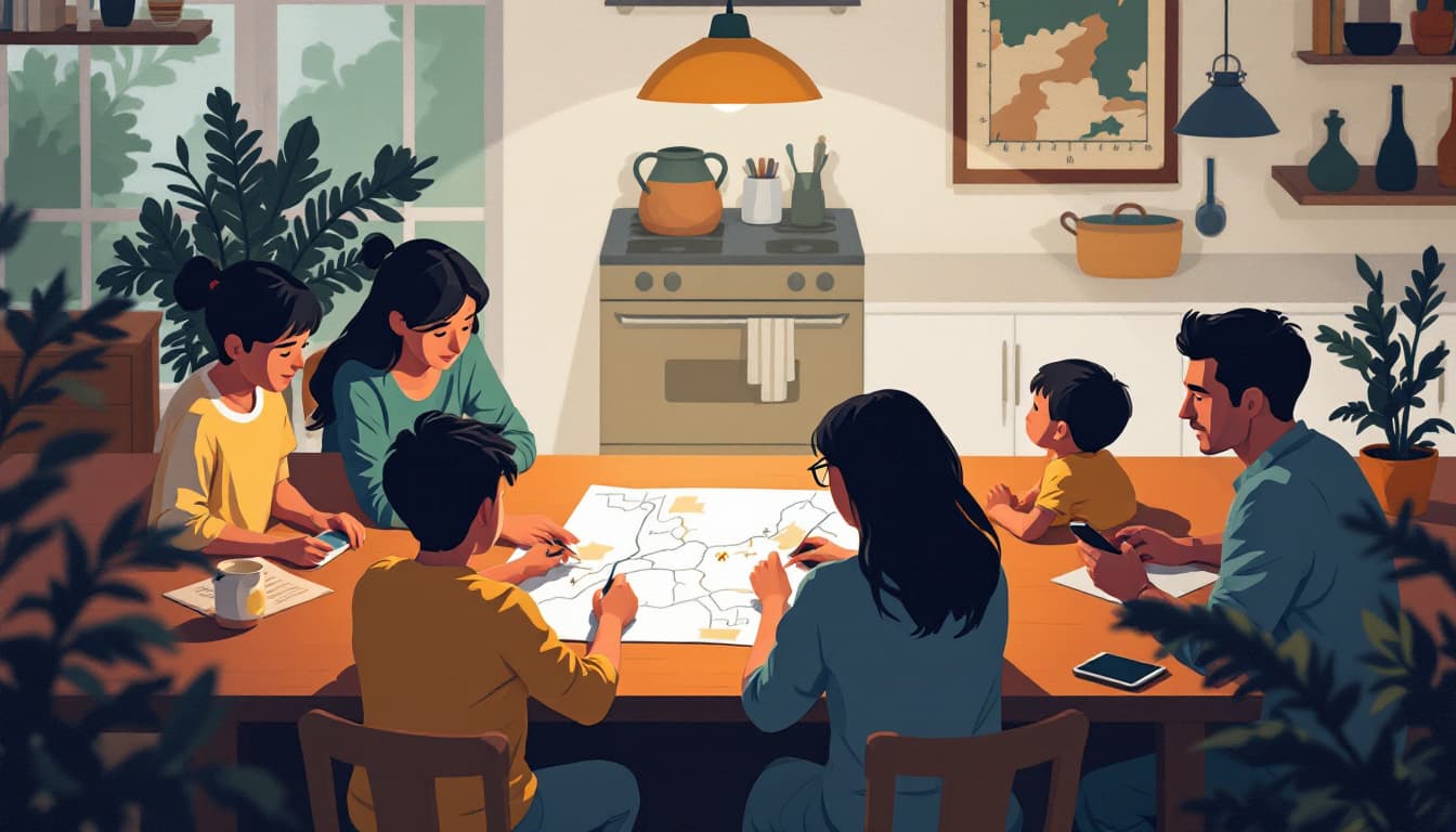
There is a meaningful secondary benefit. Households with children — particularly school-age children — have an unusual opportunity here. Map-reading is a legitimate school subject that has almost entirely disappeared from American classrooms. Teaching a ten-year-old to navigate a county road map on a weekend drive does two things at once: it builds their spatial reasoning, and it forces you to practice a skill you've likely been neglecting.
The specific investment this requires
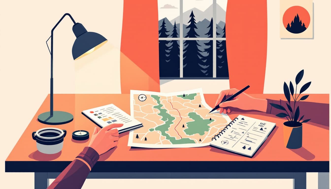
A DeLorme state atlas (or equivalent) for your home state costs around fifteen dollars at most outdoor retailers. A USGS 7.5-minute topographic map of your immediate area can be downloaded and printed free from the USGS National Map viewer. The real investment is thirty minutes on a weekend, in a car with the GPS off, finding a destination you've been to before using only the paper version.
Do that three or four times over a month, including at least one trip that involves a route you don't already know. If you want to go further, our water & food calculator is one of the few preparation tools that pairs naturally with this kind of thinking — both are fundamentally about building a model of your household's situation before you need one, not retrieving information reactively when something goes wrong.
The bigger principle
A lot of what gets labeled "preparedness skill" is really just ordinary adult competency that modernity has automated away. The problem with automation isn't that it's bad — it's almost always better on an average day. The problem is that it creates invisible dependencies that are invisible by design. You don't notice them until average day ends.
Spatial literacy is one of the cleaner examples because the fix is so accessible and so obviously useful in non-emergency life: road trips, hiking, traveling abroad, explaining directions to someone else, understanding where you actually live in relation to the world around you. It doesn't require a bug-out bag or a generator or a threat assessment. It requires a map, a little humility about what you've outsourced, and the patience to feel briefly incompetent while you build something back.