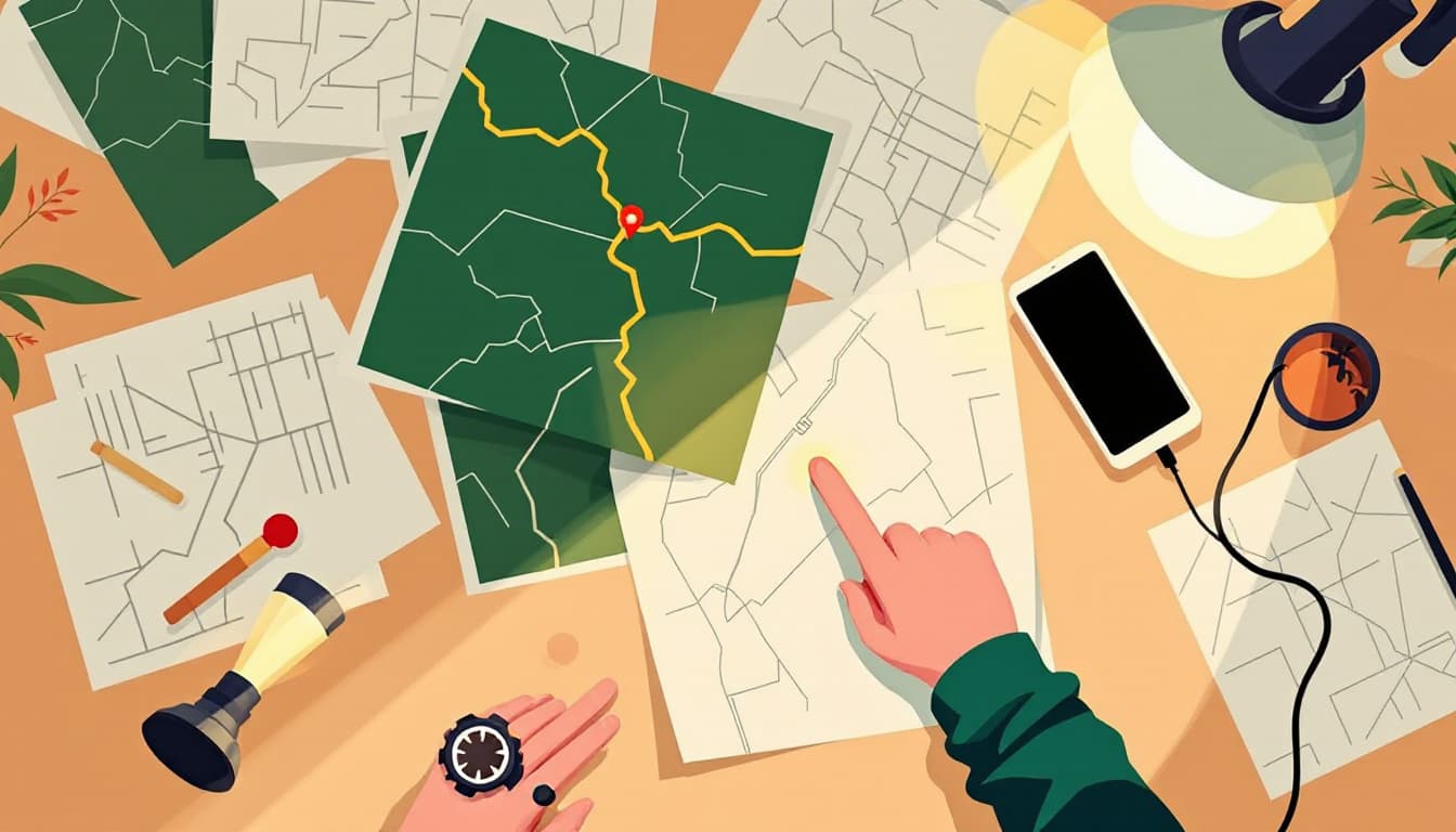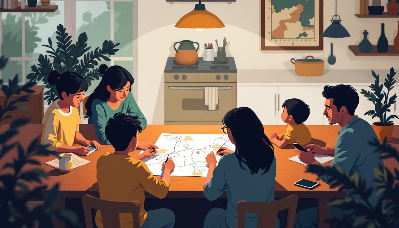
Picture a family pulled off a forest road somewhere in the Cascades, phones showing one bar and a spinning GPS wheel, the trail junction they expected nowhere in sight. They're not lost in any dramatic sense — they're mildly misoriented on a clear summer afternoon. But they have no idea which fork to take, and every guess feels like a coin flip. They drive in circles for forty minutes before cell signal returns and bails them out.
That's not a survival story. It's a nuisance story. But the skill that would have resolved it in three minutes — reading a topographic map and orienting it with a compass — is exactly the kind of skill that compounds hard under real stress.
The pattern: low-stakes practice, high-stakes payoff
Navigation is a useful, concrete, immediately applicable skill. You can use it on a camping trip this weekend. You can use it the next time you drive an unfamiliar mountain route and your phone loses signal. You can use it in a genuine emergency — a wildfire evacuation rerouting you off your usual highway, a flood closing roads, a power outage that has knocked out the cellular towers your phone depends on.
This is the compounding pattern worth paying attention to. Skills that are genuinely useful in ordinary life — not contrived or hobbyist-adjacent — are the ones you actually practice often enough to retain. A skill you only associate with disaster is a skill you touch once and then forget.
Navigation from a paper map fits this mold almost perfectly. It has immediate recreational value. It makes you better at understanding terrain, which makes you a better hiker, a better driver in unfamiliar places, a more spatially aware person. And if circumstances ever get genuinely difficult, you have something most people around you do not.
Why most people don't bother — and why that reasoning is flawed
The standard objection is that phones work. GPS works. Google Maps is excellent. Why would anyone bother with a paper map and a magnetic compass when a device costing less than a hundred dollars solves the problem automatically?
This is true right up until it isn't. GPS receivers lose signal in deep canyons and dense forest. Cell towers go down during power outages and wildfires. Batteries die. In all three cases, the contingency plan most people have is to wait and hope signal returns. That works often enough that people never update their priors.
The deeper problem is that most people who "have" the skill of navigating digitally cannot actually read the terrain. They follow turn-by-turn instructions without building a mental model of where they are. This is fine for routine travel. It's a real liability when the instructions stop.
The counterintuitive thing about map reading is that it's not difficult. It is genuinely learnable in an afternoon. The core concepts — reading contour lines to understand slope and elevation, orienting a map to match the terrain, taking a bearing with a baseplate compass — can be understood by a twelve-year-old. The local REI offers a free introductory navigation class at least a few times a year in most metro areas. Washington Trails Association and similar state-level hiking organizations run occasional map-and-compass workshops that are excellent. The National Geographic Trails Illustrated topographic maps for most major U.S. wilderness areas cost under fifteen dollars.
What takes longer is developing the habit of looking at a map before a trip instead of only opening your phone. That habit is the skill.
What to do this week
- Buy a USGS topographic map or a National Geographic Trails Illustrated map of a region you actually visit — a park, a forest, a trail network. Physical paper, not a PDF.
- Download the free PDF "Map and Compass" guide from Orienteering USA (orienteeringusa.org) and read the first three sections. It's clear and jargon-light.
- Buy a baseplate compass. The Suunto A-10 retails for under twenty dollars and is adequate for learning. You do not need an expensive model.
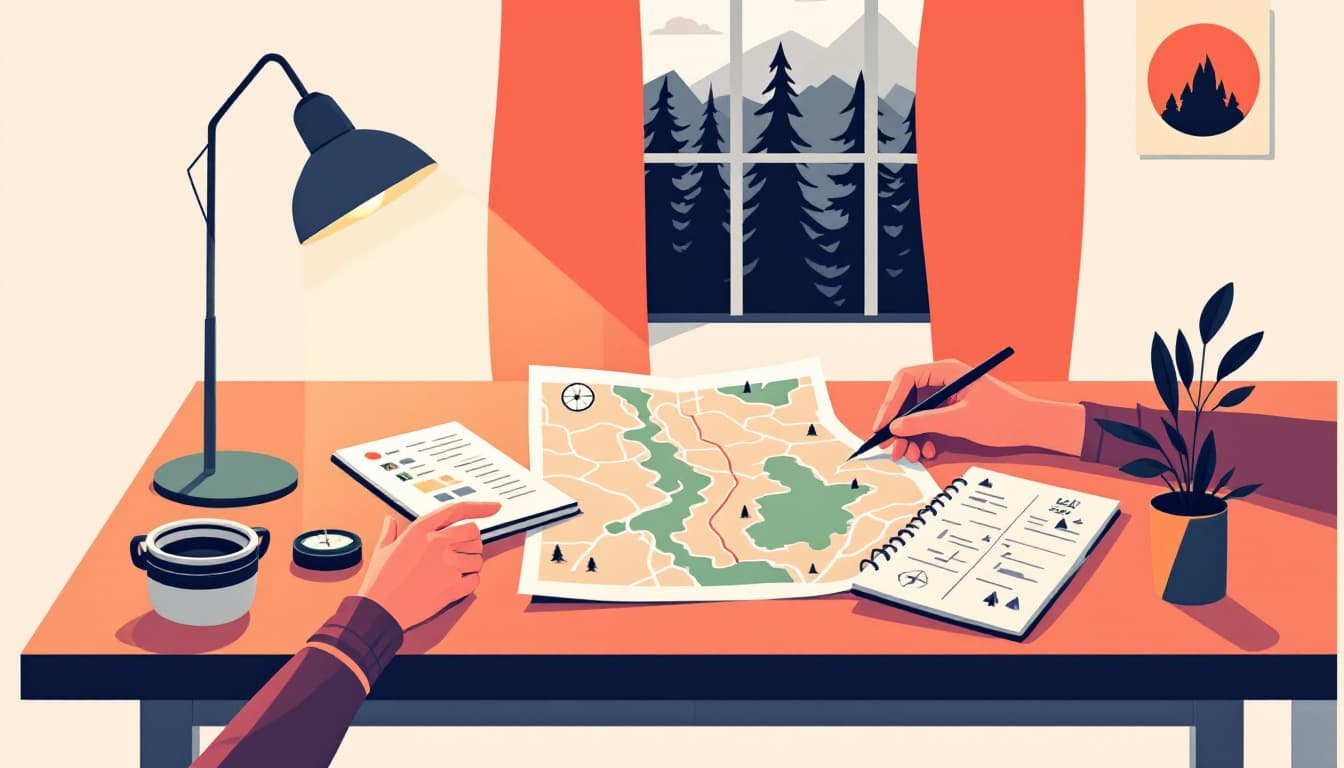
- On your next outdoor outing, bring the paper map. Before you start, orient it to the terrain. Check it at every major junction rather than opening your phone.
- If you want structured instruction, search for "map and compass course" plus your city. Most outdoor clubs, wilderness programs, and community colleges offer one.
That's the full list. It takes an afternoon of reading and a single outing to practice.
The bigger picture
Preparedness orthodoxy tends to frame skills in terms of collapse scenarios — you'll need this when the grid fails, when supply chains break, when civilization stumbles. That framing is both alarmist and counterproductive, because it ties skill-building to events most people reasonably hope will never happen.
The more useful frame is this: what skills would make your life measurably better in the next year, and also happen to matter in harder circumstances? Navigation is near the top of that list. So is cooking from scratch, basic first aid, and knowing your neighbors.
The family turned around on that Cascade road eventually got home fine. The point isn't that they were in danger. The point is that a skill learned in an afternoon — practiced, like any skill, a handful of times until it sticks — would have turned forty minutes of low-grade stress into a moment of quiet competence.
Quiet competence is the whole goal.