Pull out your phone, open your navigation app, and look at how much of your route you actually understand versus how much you are simply obeying. Most people — including people who drive the same roads weekly — cannot draw a rough map of their own metro area from memory. They can follow a blue line. That is a different skill, and it is a surprisingly fragile one.
This is not an argument about GPS going dark. It is an argument about something more ordinary: map reading is a form of spatial reasoning, and spatial reasoning is one of the more durable cognitive tools a person can build. The preparedness angle is almost a footnote.
The two things map reading actually trains
The first is orientation — knowing where you are relative to where you want to go without reference to a device. The second is route planning from incomplete information, which means understanding terrain, distance, and tradeoffs before committing to a path. Both skills transfer constantly.
Parents use orientation when navigating with kids in unfamiliar cities. Contractors use it when estimating job-site logistics. Hikers use it. Travelers in countries where you cannot read road signs use it. Real estate agents think about it when explaining why two adjacent neighborhoods feel different. Urban planners build careers on it.
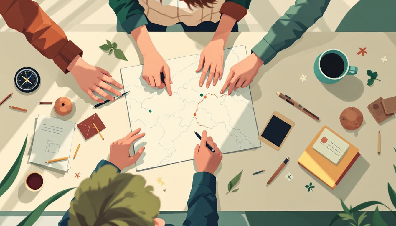
What is unusual about map reading specifically is that the paper version forces you to hold the whole picture in your head at once. You cannot pan and zoom. You cannot recalculate. You have to develop a mental model of the area, and that model persists. People who learned to navigate on paper maps generally report better spatial intuition even years after switching to GPS — there is a body of cognitive science research suggesting that active navigation builds hippocampal engagement in ways that passive turn-by-turn does not.
Why the preparedness community gets this wrong
In preparedness circles, map reading usually gets framed around one narrow scenario: GPS goes down, grid fails, everything is chaos, your Garmin brick is useless, now what? That framing is not wrong, exactly, but it sets the wrong tone. It implies you are learning an emergency skill — something you practice reluctantly against a low-probability event.
That framing is also self-defeating, because skills you only practice for emergencies are the first to deteriorate. You pull out a topographic map in a crisis and discover you have no idea how to read contour lines, orient to a landmark, or estimate time-to-distance across mixed terrain. The skill was never really there.
The more useful frame is this: map reading is something you would benefit from right now, on an ordinary camping trip, on a family drive through a region you have never visited, on any hiking trail with ambiguous signage. When you practice it in those low-stakes contexts, it compounds. By the time conditions are genuinely stressful — you are in an unfamiliar area, your battery is dead, your cell signal is gone — the skill is already automatic.
This is the pattern that distinguishes durable preparedness from theater: useful life skills that happen to perform well under pressure, rather than emergency-only skills that perform poorly because they are never really practiced.
What to actually learn, and how much
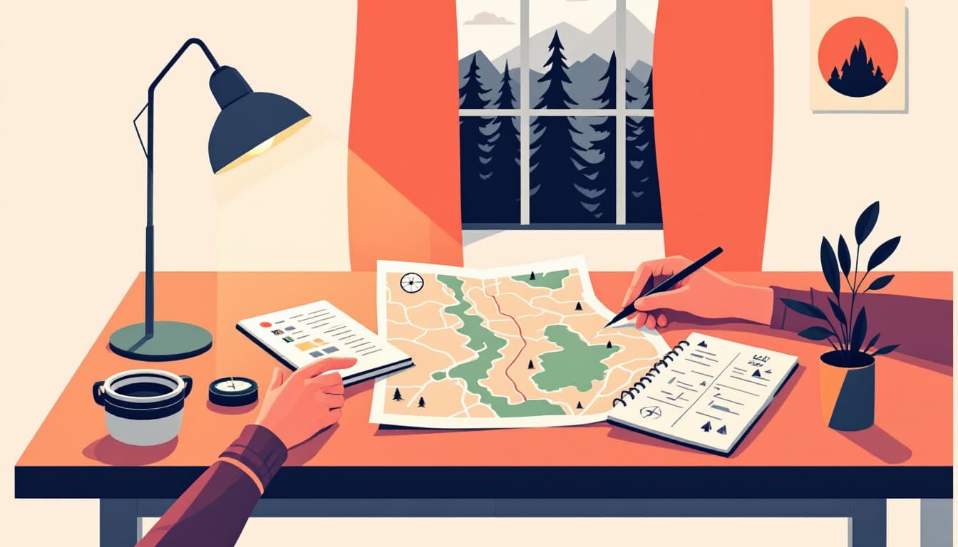
You do not need to become a wilderness navigator. The meaningful tier of competency for a suburban household is narrower than most people assume. It looks roughly like this: reading a standard road map well enough to plan a multi-leg route, understanding how topographic maps encode elevation and what that means for travel speed, and knowing how to orient a map to your actual surroundings using a baseplate compass.
That last piece — orienting a map physically — is where most beginners stall. The intuition that north on your map should align with north in front of you sounds obvious until you are standing at a trailhead facing southwest and cannot figure out why the map feels backwards. Spending two hours with a compass and a topographic map of somewhere you already know will settle that confusion permanently.
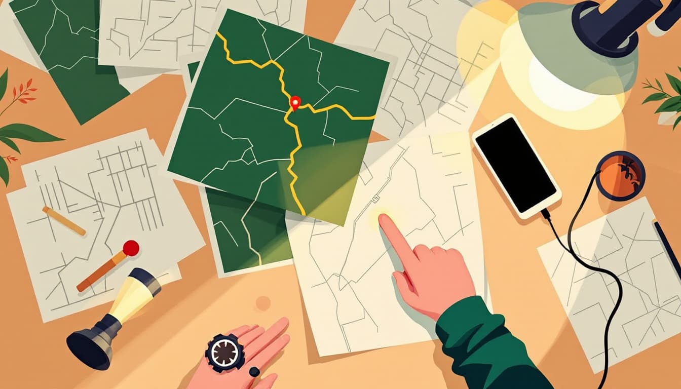
A good place to start is the free 7.5-minute series topographic maps published by the USGS, which cover every part of the country and are downloadable for any area you care about. Pair one with a $15 baseplate compass and an afternoon.
The bigger pattern
There is a category of skills that share this structure: they are not glamorous, they are not specific to any emergency scenario, and they are quietly useful enough that you would not feel embarrassed telling someone you were practicing them. Cooking from staples. Basic electrical troubleshooting. Knot tying. Navigation.
What they have in common is that regular practice is its own reward — the emergency case is almost secondary. If you frame preparedness around building a life with fewer single points of failure, map reading fits naturally. If you frame it around the collapse, it feels like homework you will never finish.
The families we think are genuinely well-prepared are not the ones with the most gear. They are the ones who have quietly developed competencies that make them more capable people in general — and who would find an unexpected power outage, or a lost cell signal, or a vehicle breakdown on an unfamiliar road, less alarming than most of their neighbors. That composure does not come from stockpiles. It comes from knowing things.