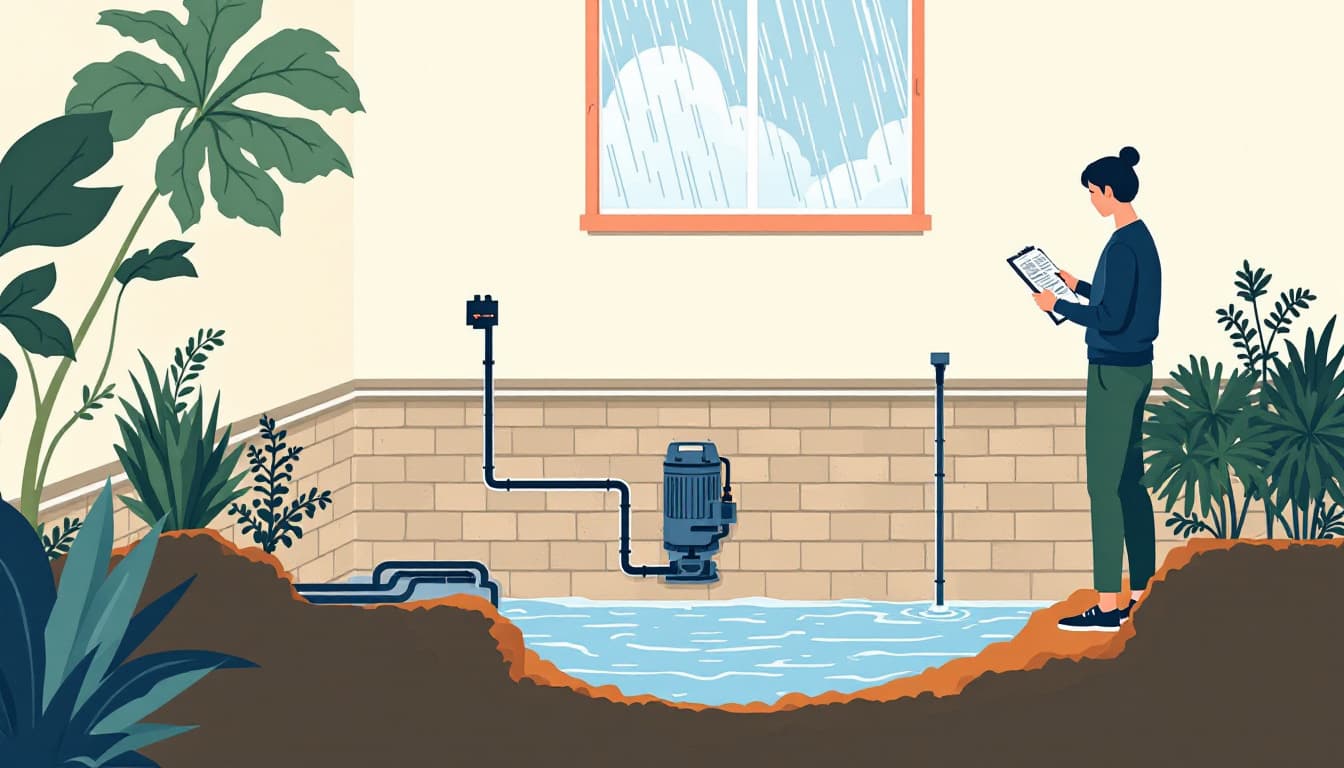
Thirty-two feet. That is how much the Guadalupe River rose during the flash flood emergency reported this week by AccuWeather in the Texas Hill Country. To put that number in physical terms: a three-story building is roughly 30 feet tall. The river did not gradually climb. It moved the way Hill Country floods always move — in a wall, upstream to downstream, with almost no warning window for anyone camped, parked, or sleeping in a low-lying area along its banks.
This is not a one-in-a-lifetime event for central Texas. The Hill Country's geology — thin soil over limestone karst, steep drainage basins, rivers that channelize fast — means the region produces some of the most dangerous flash floods in North America. The Guadalupe, the Llano, the Pedernales, and their tributaries have all surged this way before. The question for households across the Edwards Plateau and into the I-35 corridor is not whether it happens again. It is whether your family has a plan that works in a 20-minute window.
What actually makes Hill Country floods different
Most flood preparedness advice is written for coastal or river-plain flooding, where you have 12 to 48 hours of rising water. Hill Country flooding operates on a different clock. Rainfall 60 miles upstream — sometimes in a county with clear skies — can send a surge down a narrow canyon before local weather radar shows anything alarming at your location. Low-water crossings, which are common across Kerr, Kendall, Comal, Gillespie, and Blanco counties, become lethal in minutes. The Texas Department of Transportation maintains hundreds of these crossings, and the state's "Turn Around, Don't Drown" campaign exists because the data on crossing fatalities is grim and consistent.
A 32-foot rise also means that FEMA flood maps — already imperfect — are essentially irrelevant at that surge level. Properties well outside the 100-year floodplain get inundated. Flood insurance tied to those maps may not cover you, and most standard Texas homeowner policies explicitly exclude flood damage.
What we'd actually do
Check your flood zone status against the Texas Water Development Board's flood viewer, not just FEMA's map. TWDB maintains the Texas Flood Viewer at flood.texas.gov, which integrates more recent local storm data than FEMA's National Flood Hazard Layer. Spend 10 minutes this week entering your address and your county cabin, storage unit, or weekend property address. Know before you need to know.
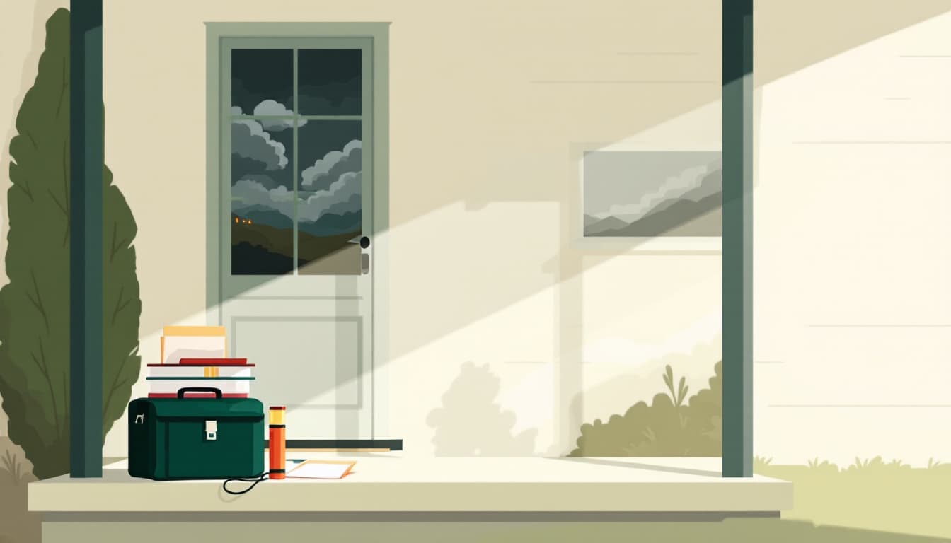
Build a go-bag that lives in your car, not just your house. If you are camping on the Guadalupe or a Frio River outfitter, or if you are driving FM roads through canyon country, your house bag is useless. A small waterproof bag with a 72-hour kit — medications, copies of IDs, a charged battery bank, $200 cash, and a paper list of emergency contacts — belongs in the vehicle that goes to the Hill Country. This week, pull whatever you currently have and verify it is actually there.
Program Wireless Emergency Alerts and do not silence them. iOS and Android both allow users to turn off Flash Flood Emergency alerts. Many people do this to stop interruptions. In a Hill Country canyon or river camp, a Wireless Emergency Alert may be the only signal that arrives before the water does. Go into your phone's notification settings today and confirm that Extreme Alerts and Flash Flood Emergencies are enabled, not suppressed.
Know your nearest high ground by address, not by memory. Vague instructions like "head to higher ground" fail when water is rising and it is dark. Using Google Maps or a topo app, identify a specific paved route to elevation from your home or regular camping spots. Write it down. Verbal plans dissolve under stress; written ones survive it.
Talk to your insurer about flood coverage this month, not next spring. The National Flood Insurance Program has a 30-day waiting period before new policies take effect. If the Guadalupe flooding prompted you to think about your exposure for the first time, you cannot buy coverage and use it immediately. Call your agent, ask what your current policy excludes, and get a flood policy quote. The annual premium for moderate-risk properties is often lower than people expect.
The bigger picture
Texas Hill Country flash floods are not a preparedness edge case. They are one of the most statistically consistent causes of weather-related death in the state, season after season. The families who survive them are rarely the ones with the best gear. They are the ones who made a decision before the water rose — about where they would go, how fast they would leave, and what they would not stop to grab.
Durability is not about predicting the next flood. It is about having a plan that works when prediction fails.