A flood warning along the Guadalupe River in the Texas Hill Country — reported this week by the San Antonio Express-News — is not unusual. What is unusual is treating it as background noise.
The Guadalupe drains roughly 6,000 square miles of thin-soiled limestone terrain between Kerr County and the Gulf Coast. That geology is the problem: water that falls on the Edwards Plateau has almost nowhere to go but down, fast, into narrow river corridors. New Braunfels, Seguin, Kerrville, and the string of summer camps and weekend cabins between them sit in one of the most flash-flood-prone corridors in North America. The National Weather Service's Austin/San Antonio office has documented multiple "rises of 20 feet in under two hours" events on the upper Guadalupe in the past decade alone.
What's actually happening
July is not the peak of Texas's hurricane season, but it sits squarely inside the window when Gulf moisture combines with afternoon convection to produce slow-moving, extremely high-rainfall cells over the Hill Country. These events are not tornadoes with minutes of warning. They are upstream rain events — the storm may be 80 miles from you, and the water arrives at your location hours later, which is both a blessing (time to act) and a curse (people underestimate it because the sky above them is clear).
The San Antonio Express-News warning signals that National Weather Service gauges are already registering rising water. At that point, the question is not whether the river will rise further, but how fast.
For households in Comal, Kendall, Kerr, and Hays counties — and for anyone with property on the river corridor down through Gonzales — this is a narrow action window, not an academic conversation.
What we'd actually do
Check your specific gauge, not just regional headlines. The USGS National Water Information System maintains real-time gauges at multiple points along the Guadalupe. The gauge at Comfort, the gauge near Spring Branch, and the gauge at New Braunfels tell different parts of the same story. Bookmark the one nearest your property and learn what "flood stage" means at that specific point — it varies by location and is listed directly on the gauge page.
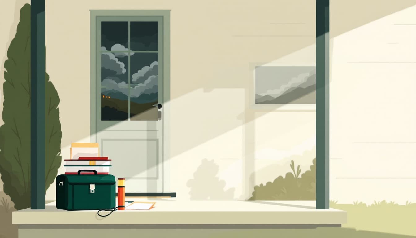
Run a 90-second go-bag audit tonight. Not a gear-buying exercise. Open the bag you already have — or the cabinet you've been meaning to turn into one — and verify that it contains copies of critical documents (insurance policies, property deed, vehicle titles), at least three days of medications, a phone charger, and cash in small bills. ATMs stop working when power goes out. A $200 emergency cash reserve in a zippered pouch costs nothing to maintain and solves a real problem.
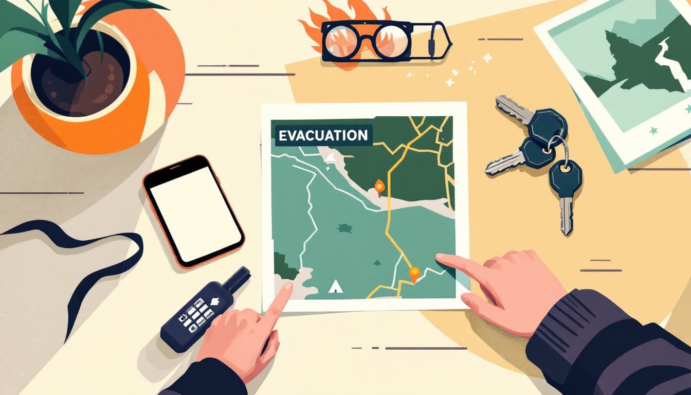
Know your downstream road options before water is moving. Low-water crossings are the single biggest flood-death factor in the Hill Country. Texas Department of Transportation maintains a road condition map, but in a fast-rising event it lags reality. Drive your two or three exit routes on a dry day and identify which ones cross creek beds or low-water bridges. Then make a household rule: if there is moving water on a crossing, you do not cross it. Period. The phrase "Turn Around Don't Drown" is a cliché because it keeps being necessary.
If you rent or own in a floodplain, verify your flood insurance status this week. Standard homeowner's and renter's insurance does not cover flood damage. FEMA's National Flood Insurance Program has a 30-day waiting period before a new policy takes effect — meaning if you open a policy the day a warning is issued, you are not covered for that event. Check your declarations page. If you are in a FEMA-designated flood zone along the Guadalupe and you do not have a separate flood policy, that is a financial exposure worth fixing before the next cell forms.
Have an out-of-state contact and a rally point. Local cell towers get overwhelmed during disasters. Designate one person outside Texas — a family member, a college friend — as the contact everyone in your household checks in with. Agree on a rally point in case household members are separated when the warning goes out. This costs nothing and takes five minutes.
The bigger picture
The Hill Country flooding pattern is not a new threat, but the pattern of households being caught unprepared is also not new. The river rises fast, the low-water crossings fill, and people make bad decisions because they didn't settle the small questions — cash, documents, exit routes, insurance — during the long dry stretches between events.
Durability is not about stockpiling for the apocalypse. It is about removing the small, solvable surprises so that when the Guadalupe rises at 2 a.m., the only decision you're making is when to leave, not whether you can afford to.