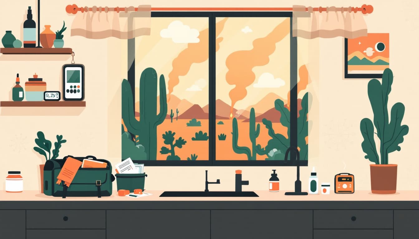
A Travel And Tour World report this week placed Arizona alongside Colorado, Italy, France, and Spain in a broadening summer wildfire crisis affecting travel and public health across two continents. For tourists, the story is flight delays and rerouted itineraries. For Arizona households, it's something less abstract: smoke sitting in the valley for days, air-quality indexes that spike past 200 before 8 a.m., and the real possibility that a fire burning near Prescott or Show Low can close SR-89A or SR-260 with two hours' notice.
What's actually changing this season
Arizona's fire season has structurally shifted. The window that once ran roughly May through early July now extends into September, pushed by persistent drought conditions across the Colorado Plateau and the Mogollon Rim. The 2025 season closed with more than a million acres burned statewide, and early 2026 indicators from the Arizona Department of Forestry and Fire Management pointed to above-normal fuels across the central highlands.
The smoke problem is distinct from the fire problem. Maricopa County residents often assume they're safe because no fire is burning nearby — but wildfire smoke from the Rim Country or from fires across the border in Sonora, Mexico, routinely settles into the Phoenix metro basin under temperature inversions. The Maricopa County Air Quality Department issues action days faster than most residents check them. Tucson sits closer to the Rincon and Santa Catalina fire zones and gets its own smoke loading events, often with less warning than the metro.
The travel angle the report focused on is real but secondary for residents. What matters at the household level is sustained smoke exposure over a two-to-three week stretch — the kind that worsens asthma in children, stresses cardiovascular systems in adults over 60, and creates a slow productivity drain that nobody tracks well.
What we'd actually do
Check the AZDFFM Inciweb listings every morning during July and August, not just when you smell smoke. The Arizona Department of Forestry and Fire Management links to active incident pages through their site, and Inciweb gives you real acreage, containment percentage, and evacuation zone status before local news covers it. Smoke frequently arrives eight to twelve hours before a fire makes the evening broadcast.
The second action is building a clean-air room. Pick one interior room in your home — ideally without windows facing the prevailing wind direction — and seal it well enough to run a HEPA air purifier continuously during a smoke event. A room-sized purifier with a true HEPA filter can reduce fine particulate matter significantly in a closed 150-to-200 square foot space. This is not a luxury purchase if you have a child with asthma or an elderly parent living with you. The purifiers that get recommended most frequently run $80–$150; the filters cost another $30–$50 per season. That's the actual math.
Get a printed evacuation route for your county — not just a saved map on your phone. Arizona's cell networks in the Rim Country and in the White Mountains are not robust under load. When a fire forces a highway closure, towers get overwhelmed by traffic and emergency alerts simultaneously. The Arizona Division of Emergency Management publishes county-level hazard plans; your county sheriff's office maintains the official evacuation zone maps. Print the relevant pages, keep them in the car, and agree on a meeting point with your household that is not dependent on texting.
Stock N95 masks specifically for smoke, not just for illness. A three-to-five day smoke event is the most likely air-quality emergency an Arizona household faces. Surgical masks and cloth masks do not filter PM2.5 meaningfully. NIOSH-certified N95s do. Keep a small supply — eight to ten masks — in a sealed bag in a kitchen drawer. Replace them each spring. This is a fifteen-dollar annual expense.
Register for your county's emergency alert system by name and address, not just by phone number. Maricopa County uses Alert Maricopa, Pima County uses Alert Pima, and most rural counties use a version of the Rave or Everbridge platforms. The default opt-in is cell-broadcast alerts, which are geographic but sometimes delayed. Registering by address ties you to your specific evacuation zone and can get you earlier, more specific notifications.
The bigger picture
Arizona fires are not a sign that something has gone catastrophically wrong — they are a feature of living in a semi-arid climate that now runs hotter and drier across a longer window. The households that navigate fire seasons well are not the ones with the largest bug-out bags. They're the ones who maintain clear air at home, know their evacuation routes before they need them, and don't rely on any single communication channel during an emergency.
Durability looks like a printed map in the glove box, a working HEPA filter in one room, and a family that has had the conversation about where to meet if SR-260 closes. That's achievable this weekend.