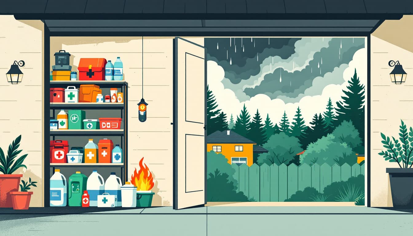
A monsoon storm rolls through the Valley, drops two inches of rain in forty minutes, and Arizonans exhale. Then the storms stop. The humidity lingers. And the heat comes back harder than before — wetter air, higher overnight lows, and a sun that's been baking saturated ground.
A report this week from azcentral.com and The Arizona Republic flagged exactly this pattern: monsoon activity kicking off a week before a swing back to extreme heat. That transition is not a reprieve. It's a trap.
What's actually changing in that gap
Monsoon storms do three things to your household's risk profile simultaneously. They knock out power — APS and SRP both see their highest outage volumes during haboobs and microbursts. They introduce moisture that your HVAC, if it's been running in dry heat mode, isn't always calibrated to manage efficiently. And they reset the psychological clock: people assume the worst is over and stop tracking forecasts.
Then the extreme heat returns. Overnight lows that don't drop below 90°F are the real killer, not the afternoon peak. When your house can't shed heat overnight, every subsequent day starts from a higher baseline. By day three of a heat event with warm nights, indoor temperatures in homes with aging AC units or poor insulation can climb even when the thermostat says otherwise.
The National Weather Service Phoenix office tracks "excessive heat warnings" separately from "heat advisories" for this reason — the threshold isn't just about the high, it's about how long the body is denied recovery time. The transition week, when monsoon moisture keeps overnight temps elevated, is when that recovery window shrinks most sharply.
What we'd actually do this week
Test your AC unit before the heat returns, not during it. Turn your thermostat down four to five degrees and time how long the system takes to hit that setpoint. If it struggles now, in July humidity, it will fail under dry 115-degree load. HVAC service calls in Phoenix during a heat event run days-long backlogs. Booking a checkup during a monsoon lull is one of the highest-value preparedness moves an Arizona household can make.
Check every ceiling fan for correct summer rotation. Counterclockwise when viewed from below pushes air down and creates the wind-chill effect you need. This is a thirty-second fix that meaningfully extends the livable temperature range of a room during a partial outage.
Audit your water storage and your car emergency kit. Monsoon flooding on the I-10 and Loop 101 regularly traps commuters for hours. A gallon of water and a mylar emergency blanket per person in your vehicle is not extreme — it's the minimum for sitting stopped on Phoenix asphalt in July. Refresh anything stored in a hot car: water bottles left in vehicles can reach temperatures where plastic degrades and leaches.
Identify your household's cooling refuge and make sure everyone knows the address. Maricopa County opens cooling centers during extreme heat events, and the county's emergency management website maintains a real-time list. Know the nearest one to your home and the nearest one to your workplace. If your AC fails at 11 PM, you need that answer before you need it.
Document any monsoon damage now, before the heat bakes it in. A cracked window seal, a damaged soffit vent, or water intrusion around an exterior door that happened during last week's storm will become a significantly worse problem after another month of heat cycling. Walk your exterior this week while it's still tolerable at 7 AM.
The bigger picture
Arizona's heat is not a surprise. What fails households isn't ignorance of the danger — it's the assumption that the monsoon pause means the hard part is over. The preparedness goal here isn't a bunker or a year of freeze-dried food. It's a house that keeps working, a car that doesn't strand you, and a plan your family can execute half-asleep at midnight when the power goes out and the temperature inside is already 85.
Durable households aren't dramatic ones. They're just slightly more ready than the moment requires.