A tropical storm forming in the Gulf of Mexico in mid-July is not unusual. What matters is where it tracks and how fast it moves — because a slow Gulf storm dumping rain over already-saturated ground is often more destructive than a faster, stronger one that moves through quickly. A report this week from USA Today confirmed Tropical Storm Bertha has organized in the Gulf, with forecast guidance flagging significant flooding potential.
Florida households have a narrow window here. The Gulf is a short runway. Storms that form there can make landfall in 24 to 72 hours, which is not a lot of time if your prep list starts at zero.
What's actually different about a Gulf flooding event
Most storm coverage defaults to wind speed. Flooding deserves more attention. Florida's topography is almost entirely flat, the water table in much of the peninsula sits just below the surface, and both the Atlantic and Gulf coasts funnel storm surge inward with little natural resistance. The Tampa Bay area, in particular, has a well-documented surge vulnerability because of the bay's shape — water funnels in and has nowhere to go.
Inland Florida is not safe from flooding either. Central Florida's history of stall events — storms that park and spin over the same geography for hours — means places like Orlando, Ocala, and the Kissimmee River basin can take on several inches of rain in a single afternoon even from a tropical storm that never made a direct hit.
The distinction between "tropical storm" and "hurricane" matters less than most people think when the primary hazard is rain. Bertha does not need to intensify to cause serious household disruption.
What we'd actually do
Check your flood zone status before the storm, not after. Florida Division of Emergency Management maintains interactive flood maps by county. If you don't know whether your address falls in a Zone A, AE, or X, look it up today. Zone designations affect whether a mandatory evacuation order applies to you and whether your insurance even covers flood damage. Renters: your landlord's policy almost certainly does not cover your belongings.
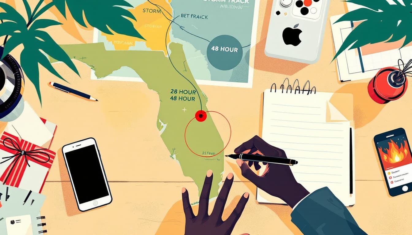
Pull up NOAA's National Hurricane Center briefing and set it as a tab you refresh every six hours. The NHC publishes updated track and intensity forecasts roughly four times daily. The cone graphic gets most of the attention, but scroll down to the text forecast discussion — that's where forecasters explain their confidence level and what the competing model scenarios are. A track that's uncertain northward versus southward matters enormously if you're in the Tampa Bay corridor versus the Panhandle.
Move everything off the floor in any room that has flooded before. This is the single highest-value 20-minute action for most Florida households. Irreplaceable documents, electronics, children's medications, and photo albums can all go into a plastic tote on a shelf or countertop. Flood water that reaches only a few inches can destroy far more than it seems if the right things are on the floor.
Charge everything and fill the car tonight. Gas stations lose power too, and they run dry fast when a storm approaches. A full tank buys you evacuation flexibility and generator fuel optionality. Every device in your household — phones, battery packs, laptop, medical equipment — should be at or near 100% before any tropical system makes landfall.
Know the difference between a watch, a warning, and an evacuation order specific to your county. Florida counties issue tiered evacuation orders (Zone A first, then B, C, and so on) through their own emergency management offices, not through NWS. Subscribe to your county's emergency alert system — most Florida counties use Nixle, AlertMedia, or a county-specific SMS opt-in. A national weather alert on your phone is better than nothing, but county-level orders are more actionable.
The bigger picture
Atlantic hurricane season runs through the end of November. Bertha is July's entry, which means this household is running a four-month gauntlet, not a one-storm event. The households that manage these seasons well are not the ones who panic-buy generators after the first named storm — they're the ones who treat storm prep as an ongoing maintenance posture the way they treat car maintenance. A little attention every few weeks costs less and delivers more resilience than a frantic run to Home Depot when the cone appears over your zip code.
Track Bertha carefully. But also use this week as a calibration — wherever your prep was thin, note it and fix it before the next system forms.