On a clear summer morning in the Texas Hill Country, a dry creek bed can become a ten-foot wall of water in under thirty minutes. The terrain is the reason: thin limestone soil, steep draws, and upstream rainfall that never reaches a downstream gauge before the surge does. A report this week from Grist examined how a recent Texas flood again exposed the gaps in the state's public warning system — alerts that arrived after roads were already impassable, or not at all in some low-lying communities.
This is not a new failure. It is a structural one. And it will not be fixed before the next storm.
What is actually breaking down
Texas operates a patchwork of warning infrastructure. The National Weather Service issues watches and warnings. County judges and emergency managers control local Wireless Emergency Alerts. Automated gauges feed data to the Lower Colorado River Authority, the Harris County Flood Control District, and other regional bodies — but coverage is uneven outside metro areas. The Grist report points to the core problem: many rural and exurban households sit in jurisdictions with limited gauge density, understaffed emergency management offices, and no direct path between "creek is rising fast" and "your phone buzzes."
The alert delay isn't always negligence. It's geography, staffing, and the physics of flash floods outrunning bureaucratic process.
For households in the Hill Country, the Piney Woods, the Gulf Coast plain, or any Texas county that does not have Harris-level flood infrastructure, this gap is the normal condition. Plan accordingly.
What we'd actually do
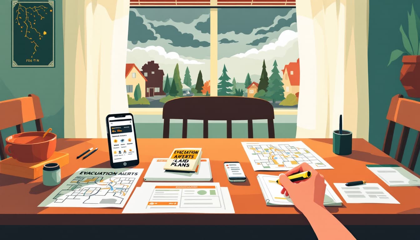
Sign up for your specific county's alert system — not just WEA. Wireless Emergency Alerts from FEMA reach your phone automatically, but county-level systems like Smart911, Everbridge, or county-run CodeRED programs carry local specificity that federal alerts don't. Every Texas county has a different platform. Go to your county's Office of Emergency Management website this week and register your address. Many systems let you specify a secondary address (a school, a parent's house) to monitor as well.
Wireless Emergency Alerts use cell towers, which means coverage at your precise address varies. County opt-in systems tie the alert to your registered location, not your phone's position. This matters especially if you live near a creek, bayou, or low-water crossing.
Bookmark the LCRA, TWDB, or relevant regional gauge network for your area. The Lower Colorado River Authority publishes real-time stream gauge data for the Colorado River basin. The Texas Water Development Board and USGS maintain gauges statewide. During a watch or heavy rain event, checking upstream gauge readings yourself — rather than waiting for an official alert — gives you 15 to 45 minutes of advance notice that no siren will provide. Find the two or three gauges upstream from your home or route to work and bookmark them now.
Establish a household trigger that requires no decision-making. The cognitive bottleneck during a fast-moving flood event is not information — it's the moment when someone has to decide whether the situation is "bad enough" to act. Pre-decide: if the gauge at [upstream location] reads above [feet], everyone moves to the second floor or leaves. Write it on a card. Tape it near the door. The research on evacuation delays consistently shows that preset thresholds beat real-time judgment under stress.
Know every low-water crossing on your regular routes, and have two alternates. TxDOT and county road maps identify low-water crossings. The Texas Department of Transportation's "Turn Around, Don't Drown" data shows these crossings are responsible for a disproportionate share of flood fatalities in the state. During flood season — which in Texas runs effectively year-round but peaks May through October — mentally eliminate those crossings from your default route and know where you'd go instead.
Keep a 72-hour go-bag staged and a tank of gas above half. This is not exotic gear advice. It is the one material difference between a household that can leave in ten minutes and one that cannot. The bag doesn't need to cost much: documents in a waterproof pouch, three days of medication, a phone charger, and a change of clothes. The gas habit is free.
The bigger picture
Texas is not going to build a seamless, county-by-county flood warning network in the next year or two. Budget constraints, political complexity, and the sheer scale of the state make that a long-horizon project. The Grist report is a useful reminder that official systems are designed for median events, not the fast, localized floods that Texas geography specializes in producing.
That is not a reason to panic or to distrust emergency management entirely. It is a reason to build a layer of self-monitoring on top of official alerts, so that when the system works, it reinforces what you already know, and when it lags, you're not waiting on it.
Durable households don't rely on a single warning chain. They build two or three overlapping signals and make the decision to move before they're certain it's necessary.