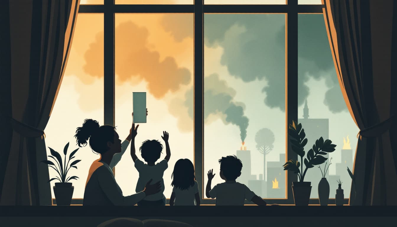
A Forbes report this week describes a wildfire disaster actively unfolding in and around Spokane. The fires are burning in terrain that mixes dry ponderosa pine, residential subdivisions, and dead-end canyon roads — a combination that compresses the time between "fire spotted" and "road blocked" to something measured in minutes, not hours.
This is not a weather anomaly. Eastern Washington's fire season has been lengthening for years, and the Spokane area sits in a convergence zone of low humidity, east wind events, and a wildland-urban interface that has grown steadily outward from the city's edges. If you live east of the Cascades — Spokane, Spokane Valley, Liberty Lake, the Palouse fringe — your emergency planning cannot be borrowed from a generic template.
What's actually different about Eastern Washington fire risk
Western Washington households run wildfire risk too, but their primary concern is usually smoke inhalation from distant fires and the occasional interface fire in the foothills. Eastern Washington is categorically different. Spokane County sits inside the Washington State Department of Natural Resources' highest fire-risk corridors. The terrain is drier, the winds are stronger, and the fire behavior in grass and shrub fuels is erratic in ways that forested fires are not — grass fires can outrun vehicles on poor road networks.
The other variable is evacuation routing. Spokane's geography — the canyon cuts, the single-entry subdivisions off Highway 195 and the South Hill — means evacuation orders can strand households if they wait for official notification. Washington's Alert Spokane system sends emergency notifications, but it requires you to register, and registration is not automatic.
What we'd actually do
Register for Alert Spokane and Spokane County's emergency notification system this week, not after the next fire. Go to AlertSpokane.org, enter your address and phone number, and confirm your coverage zone. The system distinguishes between evacuation warnings and evacuation orders; knowing that difference in advance saves decision time when smoke is visible from your window.
Identify two exit routes from your neighborhood before you need them. Pull up your block on a map and trace two separate paths to a highway. One of them should not require using the same arterial your neighbors will use. If both routes pass through canyon terrain, know the nearest open-field alternative, even if it adds ten miles. The Spokane Fire Department and Washington State Patrol post road closures in real time during incidents; bookmark those pages now.
Build a go-bag that reflects a 48-to-72-hour displacement, not an overnight bag. Most households underpack because they imagine returning home the next day. Spokane-area fires in recent years have displaced families for three to seven days. Your bag needs medications for that window, phone chargers, copies of insurance documents, and — critically — N95 masks for every household member. Smoke from active fires produces particulate levels that make an N95 necessary, not optional, for anyone with children, elderly relatives, or anyone with respiratory conditions.
Pre-position one tank of gas. This sounds simple because it is. In a fast-moving evacuation, gas stations near the fire perimeter sell out or lose power within the first two hours. Keep your vehicle above half a tank during fire season (July through October). If you have a second vehicle, keep it at least at a quarter tank.
Talk to your household about the decision threshold — not the plan. Most evacuation failures aren't equipment failures. They're decision delays. Have one conversation, in advance, about what condition triggers immediate departure without waiting for an official order. Visible smoke on your ridge line. An Alert Spokane warning (not yet an order) in an adjacent zone. Agree on it now so there's no debate at 2 a.m.
The bigger picture
Spokane households are not uniquely vulnerable because of poor planning — they're vulnerable because the risk has grown faster than the cultural habit of preparing for it. A city that spent decades thinking of wildfire as a rural problem now has fires burning at its edges. The goal isn't to move or to build a bunker. It's to close the gap between what you know intellectually and what you've actually done logistically. That gap is measured in a few hours of real work. This week is a reasonable time to do it.