A report this week from WXII described what residents in parts of North Carolina already lived through: swift water rescues, homes taking on water, and roads disappearing under flash flood runoff. This is not a rare-weather story. It is a recurring one, and the geography of North Carolina makes it structurally likely to keep repeating.
What's actually happening here
The western third of North Carolina — the Blue Ridge and Smoky Mountain foothills — funnels rainfall into narrow creek valleys with very little warning time. The Piedmont's developed watersheds push stormwater into urban streams faster than they did thirty years ago because more surface is paved. The coastal plain floods from both directions: rain coming down and tidal water backing up. There is no part of the state that is structurally immune.
Flash flood emergencies, the top-tier NWS alert category, are issued when flooding is imminent or already occurring. By definition, you have almost no lead time when one is declared. The households that made it out of this week's event without serious harm were not better equipped — they had already made two decisions before the storm: where they would go, and at what trigger they would leave.
That 90-minute gap matters because it's roughly the window between a Flash Flood Watch (conditions are favorable) and a Flash Flood Warning (it's happening). Most families use that window to watch the rain and wait. That's the wrong move.
What we'd actually do
Sign up for Wireless Emergency Alerts and your county's secondary alert system, not just one of them. WEA alerts go to your phone automatically, but they cover large geographic polygons. North Carolina's 100 counties each run their own emergency notification systems — many use Rave Mobile Safety or a similar platform — and those alerts can be street-level specific. Find your county's system through the NC Emergency Management website and register every adult in the household. Takes ten minutes.
Draw your personal flood map before the next storm, not during it. Pull up the FEMA Flood Map Service Center (msc.fema.gov) and look up your address. Then do the same for your two most likely evacuation routes. If either route crosses a low-water bridge or a creek ford, identify an alternate now. In western NC especially, a single washed-out crossing can trap you in a hollow for 12 or more hours. Write the alternate route on an index card and keep it in your glove box — you may be driving under conditions where you don't want to navigate a phone.
Set a personal trigger, and say it out loud to your household. "If the creek behind the neighborhood reaches the walking trail, we leave" is a better plan than "we'll see how bad it gets." The NC State Climate Office posts a network of stream gauges, and the USGS WaterWatch map shows real-time gauge readings statewide. Pick the gauge closest to your flood risk and bookmark it. Decide in advance what reading means you load the car.
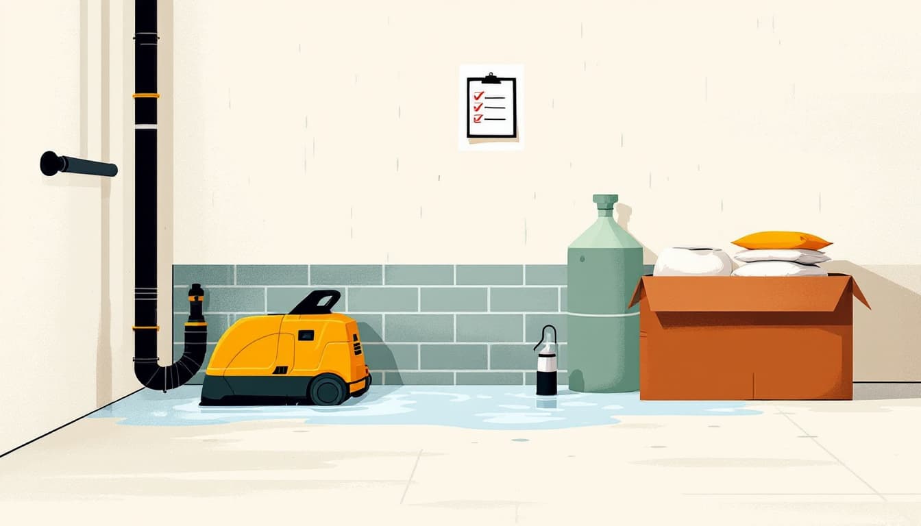
Build a 72-hour bag that assumes you're staying in a shelter, not a hotel. After a major flood event, Red Cross shelters in NC often fill quickly, particularly in mountain counties where road damage limits transport. Pack your own food (nothing requiring water to prepare), a power bank charged to full, any prescription medications for at least five days, and copies of your insurance documents in a waterproof bag. Don't assume the shelter has charging stations or dietary accommodations.
Check your homeowner's or renter's policy for flood exclusions this week. Standard homeowner's policies do not cover flood damage. Federal flood insurance through NFIP has a 30-day waiting period before it activates — meaning you cannot buy it when a storm is forecast. If you're in or near a Special Flood Hazard Area and don't currently carry flood coverage, this week is the week to call your insurer and ask what it would cost.
The bigger picture
Flash flooding kills more people in the United States each year than tornadoes or hurricanes, and North Carolina's terrain — varied, heavily creek-crossed, prone to both mountain deluges and coastal backup — makes the state a consistent entry on that list. The goal is not to build a bunker or move to high ground. It is to make two or three decisions ahead of time that turn a dangerous event into an inconvenient one. Durability looks like a bookmark, an index card, and a conversation with everyone who lives under your roof about what the plan actually is.