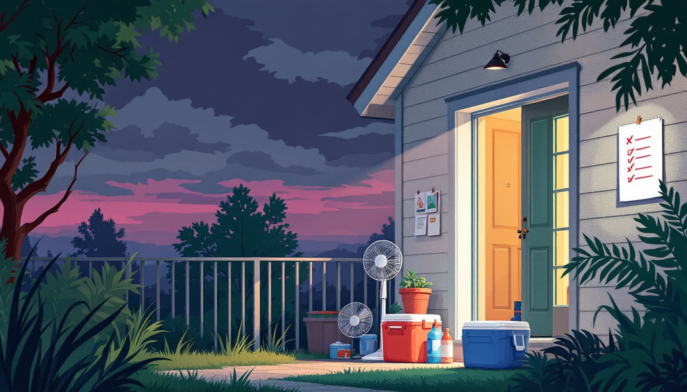
A WXII report this week flagged what North Carolina households already know from July: the calm after a heat stretch doesn't arrive clean. Before temperatures moderate, the state faces a window of flash flooding and damaging winds — the exact combination that knocks out power, closes roads, and turns a low-drainage neighborhood into a problem in under an hour.
This is not a fringe event. The western Piedmont, the foothills approaching the Blue Ridge, and low-lying areas near the Yadkin and Catawba river basins see this pattern reliably in mid-to-late summer. Warm, saturated air collides with a frontal boundary and drops rain faster than the ground can move it. Flash flood watches in North Carolina regularly precede road closures by less than ninety minutes.
What is actually changing
The storm itself is predictable. What catches households off guard is the timing gap between a flash flood watch and a flash flood warning. A watch means conditions are favorable. A warning means it is already happening somewhere in the county. In the North Carolina mountains and foothills, that distinction can collapse fast — creek rises that take two hours in flatter terrain can happen in twenty minutes when water is funneling off a ridge.
WXII's framing — "milder days ahead" — is accurate but can breed complacency. The milder stretch is real. So is the severe window before it. Households that focus on the back half of the forecast and skip the front half get caught.
There is also a wind component worth taking seriously. Damaging straight-line winds, which frequently accompany the leading edge of these summer systems, are responsible for more power outages in North Carolina than tornadoes. A downed line in a rural county can mean two to four days without power in areas where Duke Energy or an electric cooperative has limited crews working simultaneously.
What we'd actually do
Check your specific address on the NC Flood Risk Information System before the storm arrives, not after. The state's Flood Risk Information System (FRIS), maintained by NC Department of Public Safety's Floodplain Mapping Program, lets you enter your address and see your mapped flood zone and historical flood data. Many households in the Piedmont assume they are not in a flood zone because they are not near a named river. FRIS frequently shows otherwise for properties near unnamed tributaries.
Identify your two exit routes now, while roads are dry. Flash flooding in the foothills and Piedmont often blocks the most direct route out of a neighborhood without warning. Pick a primary and an alternate route and mentally note which direction each route runs relative to the nearest creek or drainage channel. If your alternate route crosses water, choose a third option that does not.
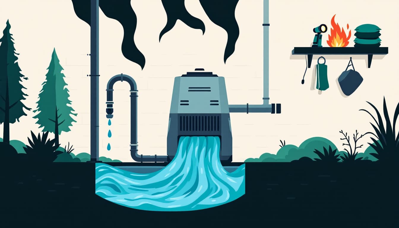
Move anything electrical off the floor in a basement or crawl-space-access area. Water heaters, dehumidifiers, chest freezers, stored documents in banker's boxes — all of these get destroyed in even a few inches of fast-moving water. A thirty-minute task before the storm is cheaper than a significant insurance claim afterward, and many renters and homeowners discover only after a flood that their policy has a separate flood deductible or no flood coverage at all. NC households in a FEMA Special Flood Hazard Area can purchase NFIP coverage; those outside one can purchase it too, often at lower cost.
Charge every battery-powered device now and fill a clean container with tap water. A flooded transformer or downed line can cut power for days. A phone at 100% and a charged battery bank buys meaningful communication time. The tap water instruction sounds obvious until you remember that some municipal systems in smaller NC towns issue boil-water advisories after heavy rain events — and those advisories can last 48 to 72 hours.
Text, don't call, after a severe storm. Cell towers in North Carolina's more rural counties are sometimes degraded during and immediately after major weather events. Text messages complete on congested networks far more reliably than voice calls. Establish a single out-of-state contact your household can text to confirm safety — this keeps local networks clearer and gives you a reliable status relay point.
The bigger picture
North Carolina's summer storm pattern is not a new threat. What changes over time is household exposure: more development in low-drainage areas, more reliance on single roads in and out of subdivisions built on former farmland, more appliances and stored goods at grade level or below. The storms are predictable. The preparation gap is the variable.
The goal here is not to survive a catastrophe. It is to handle a two-day disruption without it becoming a financial or logistical crisis. A cleared basement corner, a known alternate route, and a full battery bank accomplish that for most NC households before this system moves through.