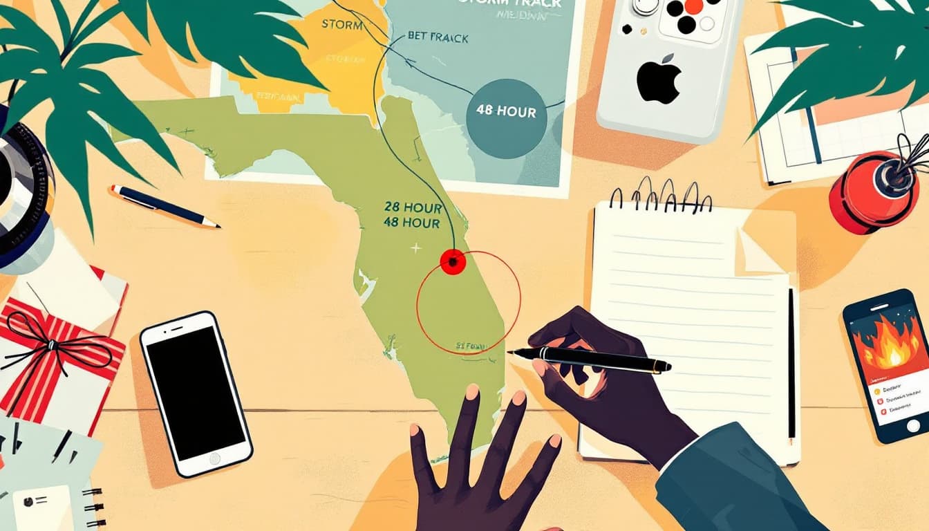
A Climate Impact Company forecast published this month projects 13 named hurricanes in the East Pacific basin for 2026, above the historical average. If that number holds, it would rank among the more active seasons on record for a basin that most households east of the Rockies mentally file under "not my problem."
That filing is the problem.
What the East Pacific basin actually does to the interior United States
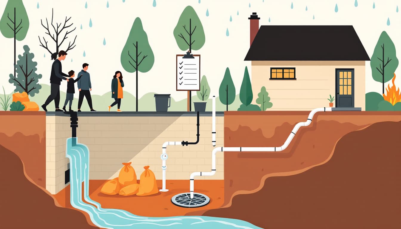
East Pacific storms don't usually make landfall in California and keep moving. What they do — with regularity — is push moisture northeast. When a weakened tropical system or its remnant moisture train collides with summer heat over Arizona, New Mexico, Utah, or Colorado, the result is flash flooding, road closures, and the kind of rapid infrastructure disruption that hits without the three-day warning a Gulf Coast resident might get from a named storm.
Further inland, the effect is subtler but still real. Supply routes through the Southwest — including rail and trucking corridors that move consumer goods and produce — get disrupted during active flash-flood events. A season with more East Pacific storms means more of these collisions, not necessarily bigger ones.
For coastal households in Southern California, Baja California Norte, and the Pacific Northwest, there's a direct storm-surge and landfall risk that's chronically underinsured. Renters in particular: flood damage from storm surge is not covered under a standard renters policy, and the National Flood Insurance Program has a 30-day waiting period for new policies. That window closes fast once a season goes active.
What's actually different about this forecast
Seasonal hurricane forecasting carries real uncertainty. Climate Impact Company's 13-hurricane projection is a probabilistic outlook, not a schedule. The Atlantic basin generates more household anxiety per forecast, but the East Pacific basin is, by storm count, historically comparable in activity. The difference is track: most East Pacific storms curve out to sea. The fraction that don't, or that decay into moisture-heavy remnants, is what households should plan around.
Sea surface temperatures in the East Pacific have been running warm in recent months, which is one of the inputs driving above-average outlooks from multiple forecasters. Warm water is fuel. More storms means more chances for one of those tracks to behave unusually.
That's not alarmism. It's how probability works across a long season.
What we'd actually do
Check whether your insurance has a flood exclusion — this week, before peak season starts in July. Most homeowner and renter policies exclude flood damage by definition. Pull out your declarations page and search for the word "flood." If you don't see explicit coverage, call your agent and ask specifically about tropical-remnant flooding. This is a 20-minute task that most households never do until they're filing a claim.
Build a 72-hour go-bag that's actually staged, not theoretical. Flash flooding moves fast enough that a "I'll throw stuff in a bag" plan is a plan to leave without medications, documents, or cash. A small waterproof bag with copies of IDs, a week of prescriptions, a charging cable, and $200 in small bills costs under $50 to assemble and takes one afternoon. Stage it somewhere you can grab it in two minutes.
Know your specific flash-flood risk, not just your county's general risk. The FEMA flood map tool (msc.fema.gov) lets you enter your address and see your flood zone designation. It's imperfect — maps lag real topography changes — but it tells you whether your street has ever been formally assessed as high-risk. If you're in an X zone (minimal mapped risk), you still want to know how close you are to a drainage corridor or arroyo.
Stock a realistic 7-day water supply now, before August. A disrupted municipal water system after a flood event is the most common household-level consequence most preparedness guides underweight. One gallon per person per day, in sealed containers, stored somewhere that won't flood. For a family of four, that's 28 gallons — roughly $30 in commercially sealed jugs from a warehouse store. Rotate annually.
Sign up for your county's emergency alert system, and verify your address is registered correctly. Flash-flood warnings move to cell phones via Wireless Emergency Alerts automatically, but evacuation orders and shelter-in-place notifications often run through county opt-in systems. Search your county name plus "emergency alerts" and spend five minutes confirming your registration. Many households discover they never completed the signup.
The bigger picture
No single forecast tells you what your specific summer will look like. What an above-average seasonal projection tells you is that the baseline probability of a disruptive event is higher than a quiet-year baseline. That's useful information for timing insurance reviews, supply staging, and the small logistical tasks that feel unnecessary until they're urgent.
The goal isn't to live through a disaster. It's to make your household durable enough that a bad storm season is a stressful inconvenience rather than a financial emergency. Those are very different outcomes, and the gap between them is mostly closed before the season starts.