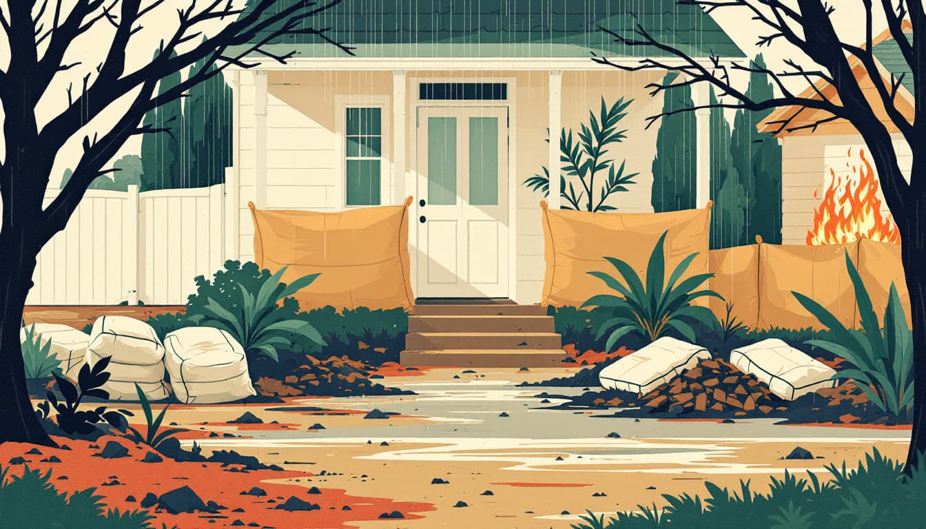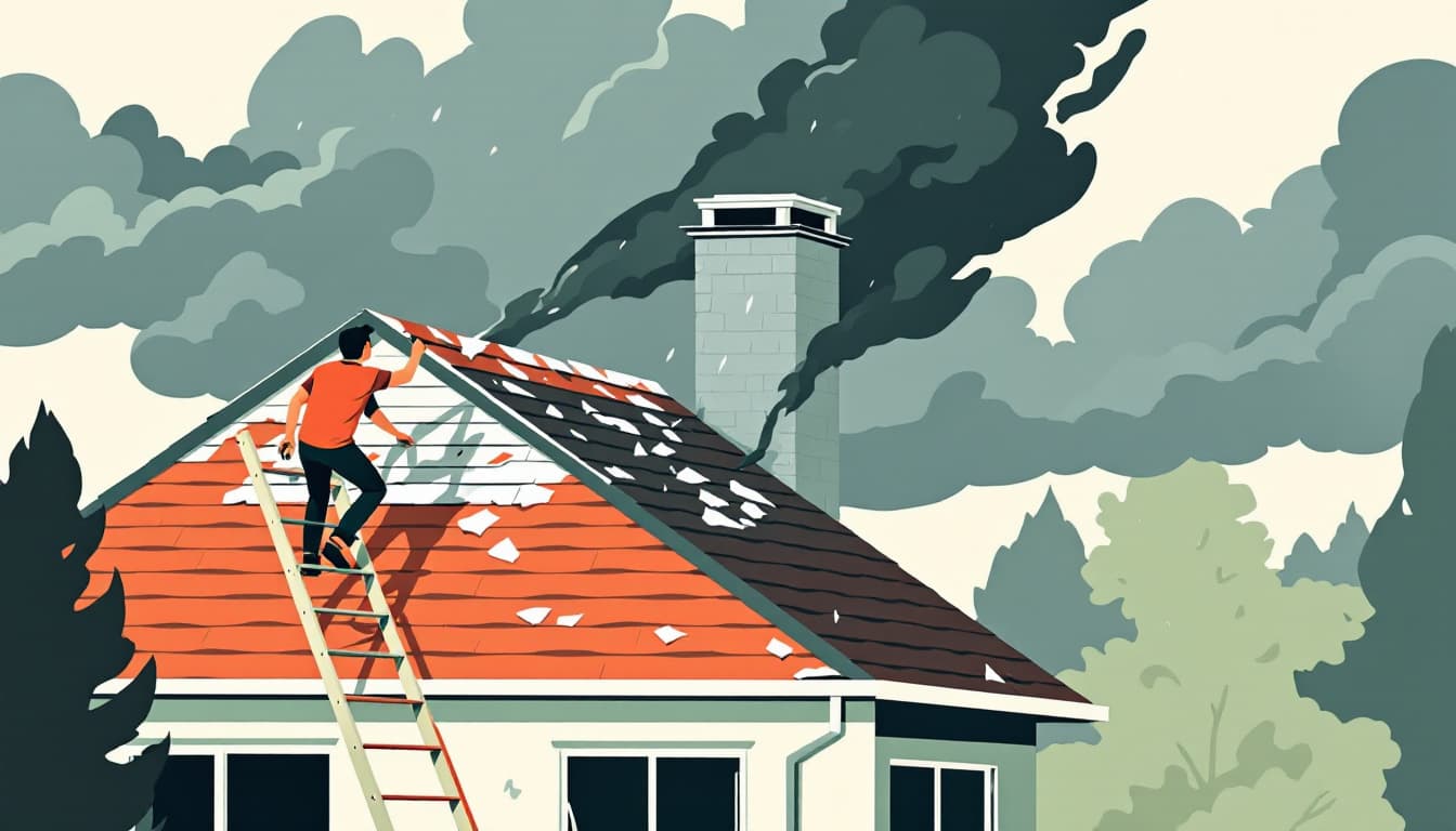
A report this week from Denver7 is tracking an active round of severe weather across Colorado, with forecasters highlighting a significant large hail threat as storm systems move through the region. The weather blog, which Denver7 uses to provide ongoing updates during dynamic meteorological events, flagged conditions conducive to severe thunderstorm development, a characteristic late-summer pattern for Colorado's Front Range and the elevated terrain of the Rocky Mountain foothills.
Colorado's geography makes it one of the most hail-prone states in the country. The convergence of moisture flowing north from the Gulf of Mexico, daytime heating over the high plains east of the Rockies, and the orographic lift generated by the mountains creates conditions that regularly produce supercell thunderstorms capable of generating hailstones well above the one-inch threshold that officially qualifies as severe. The Denver metro area, the I-25 corridor, and communities along the Palmer Divide — including Castle Rock and Monument — sit in zones that meteorologists and the National Weather Service office in Boulder have repeatedly identified as high-frequency hail corridors.
August storms in Colorado are often fast-moving and can transition from clear skies to severe conditions in under an hour, a compressed timeline that distinguishes the state's airshed dynamics from flatter terrain to the east. The Colorado Division of Homeland Security and Emergency Management (DHSEM) coordinates with county emergency managers when widespread severe weather is anticipated, though individual storm cells frequently develop faster than formal alert systems can propagate to residents in affected communities.
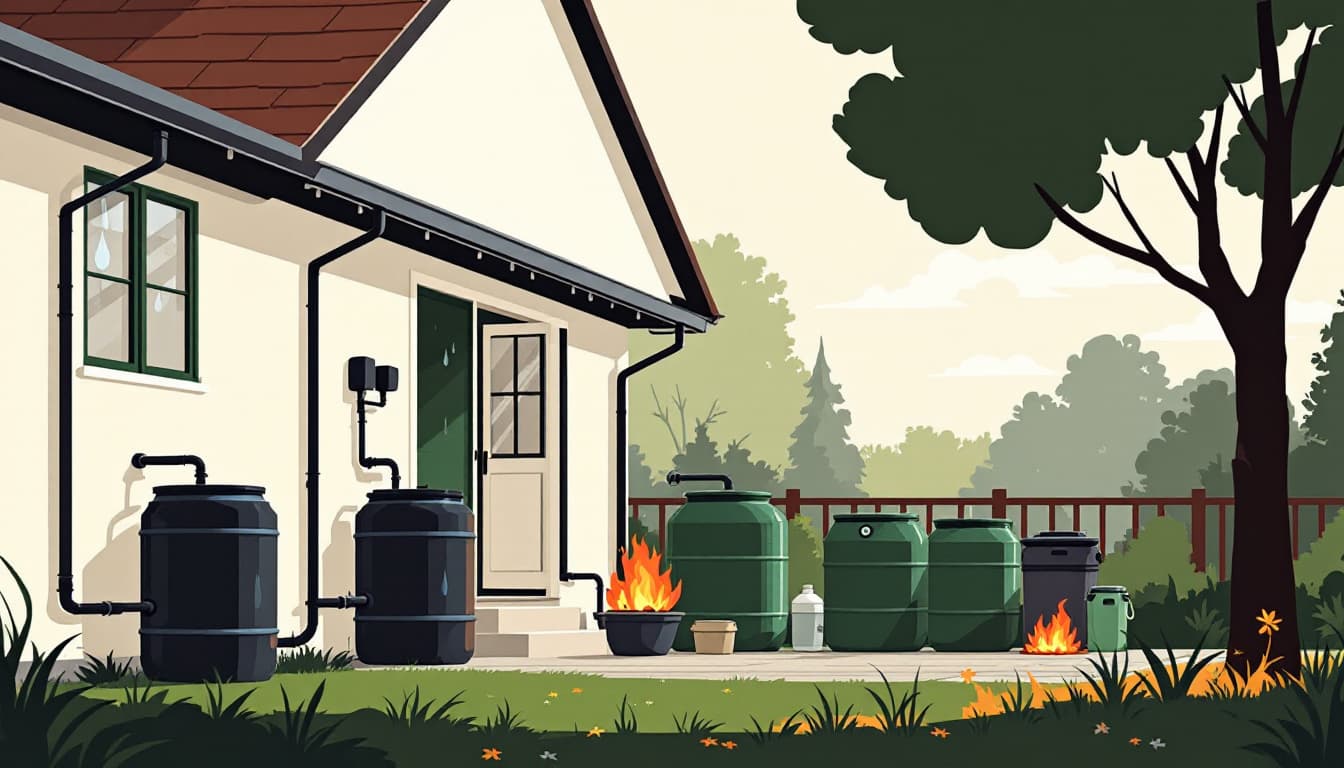
For households and small operations in Colorado that maintain emergency supplies, large hail events carry a distinct set of infrastructure concerns beyond the immediate storm window. Hailstones can compromise residential solar panels — an increasingly common feature on Front Range homes — damage rooftop HVAC equipment, and crack or puncture water storage containers kept outdoors. Extended power outages following severe storms are not uncommon along the Western Slope and in rural eastern Colorado counties where transmission infrastructure is more vulnerable, and Xcel Energy, the state's largest utility, has documented multi-hour restoration windows following significant convective events. Understanding how these localized outages interact with municipal water system pump stations, which depend on grid power, is a dimension of storm preparedness that the Middle Class Prepper guide to power resilience covers in more depth for Colorado-specific conditions.