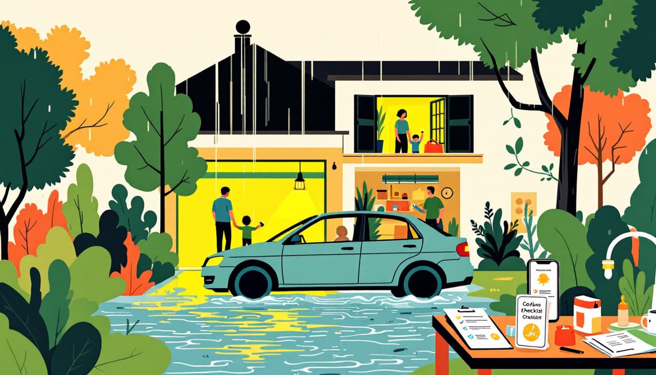
A 12News report this week documented flash flood warnings rolling across Arizona as monsoon storms pushed through the state. No dramatic casualties led the headline. That's actually the dangerous part — because the storms that don't make national news are the ones that catch households mid-routine, with cars parked in washes and no clear plan.
Arizona's monsoon window runs roughly June 15 through September 30 by National Weather Service definition. We are in the middle of it. The storms that drive flash floods here don't behave like East Coast rain events. They build fast over the Mogollon Rim or the White Mountains, drop inches of rain in under an hour, and funnel that water into dry channels that were bone-dry thirty minutes before. By the time a warning reaches your phone, the water is already moving.
What's actually different about monsoon flood risk
Most preparedness content treats floods as slow-moving events. You see water rising, you have time to grab documents and leave. That model fits coastal hurricane flooding reasonably well. It does not fit a Sonoran Desert wash event.
The compressed timeline is the defining characteristic. Arizona's desert terrain is largely non-absorbent hardpan and caliche. Rainfall doesn't soak in — it runs. A storm dropping rain fifteen miles north of the Phoenix metro can send a pulse of water down the New River, the Agua Fria, or the Salt River tributaries before any visible clouds appear overhead. The sky looks clear. The ground sounds like a freight train.
The second issue is road geography. Arizona has more "low-water crossings" per square mile of developed land than most states — dips, dry washes, and underpasses that are legally open roads until they're not. The Arizona Department of Transportation's "Turn Around, Don't Drown" messaging exists because people reliably miscalculate moving water depth. Six inches of fast-moving water can knock a person down. Two feet can carry a pickup truck.
The third issue is cell signal. Many of the stretches of highway most vulnerable to sheet flooding — stretches of State Route 88 near the Superstitions, roads into the Tonto National Forest, corridors along the Hassayampa — have marginal coverage. A warning that reaches your phone perfectly in Scottsdale may not reach you at all if you're thirty minutes east on a hiking road.
What we'd actually do
Check your specific flood zone, not just the county map. Maricopa County's Flood Control District and Pima County's Regional Flood Control District both maintain searchable parcel-level flood maps online. Pull up your address. Know whether you're in a mapped floodplain or near a designated wash. If you rent, this matters too — your landlord's flood insurance status doesn't protect your car or your belongings.
Pre-stage a 72-hour bag near your exit point, not in a garage that floods. Monsoon flooding in Arizona can trap households for 12 to 48 hours without requiring significant structural damage. If your garage is below grade or your street drains poorly, a bag stored there is useless when you need it. Keep medications, documents (digital copies on a waterproof USB are fine), a phone charger, and two days of water in an interior closet or your vehicle.
Download the NWS Tucson or NWS Phoenix app alerts and verify they're actually enabled. Wireless Emergency Alerts arrive automatically, but they are geographically broad — they cover large polygons, not your specific street. The NWS apps allow you to pin specific locations, including a work address and your kids' school, and receive targeted Flash Flood Warnings the moment a polygon touches that pin. Takes four minutes to set up.
Identify one alternate route out of your neighborhood that avoids low-water crossings. Drive it once in daylight. Know which roads in your daily corridor have dips that flood first. The ADOT Arizona Traveler Information site (az511.gov) posts road closure updates in near real time during storm events — bookmark it, not just for road trips but for your daily commute during monsoon months.
Tell someone your route when driving rural Arizona between July and September. This is low-tech and people skip it. If you're heading to a trailhead off the Beeline Highway or driving SR-89 toward Prescott, a quick text to a family member with your expected return time costs nothing and creates a check-in loop that matters if you get stranded.
Monsoon season in Arizona is not an anomaly. It is a scheduled feature of the climate here, arriving every summer with reasonable predictability. The households that navigate it well are not better equipped — they are simply better staged. They've already thought through the scenarios, adjusted their routes, and verified their alerts before the sky turns green.
Durability doesn't require a bunker. It requires doing the boring work in July so you're not improvising in the dark with water on the road.