A Washington Post report this week follows a potential tropical storm tracking toward the Gulf Coast and Southern states, where rainfall totals could exceed a foot before Friday. The images are familiar: overwhelmed storm drains, flooded underpasses, families hauling furniture to second floors.
Washington State doesn't get tropical storms. What it gets is atmospheric rivers — and several of them arrive each fall and winter, often stacking back-to-back, saturating already-wet ground along the Cascades foothills, the Chehalis River basin, and low-lying neighborhoods from Bellingham to Vancouver. The mechanism differs. The outcome often doesn't.
What's actually different about Washington's flood risk
Western Washington's flood exposure is shaped by three converging factors that rarely get discussed together.
First, the soil saturation window. By late October, most of western Washington's soil has reached or exceeded field capacity. Rain that falls after that point has nowhere to go except into streams, basements, and roads. A three-inch event in September drains. A three-inch event in January does not.
Second, the Chehalis corridor. The Chehalis River basin — running through Lewis, Grays Harbor, and Thurston counties — has flooded catastrophically multiple times since 2007, cutting off I-5 and stranding communities for days. The Washington State Department of Transportation and the Army Corps of Engineers have been working on mitigation infrastructure for years, but as of this writing, significant portions of the basin remain exposed. If you live between Centralia and Aberdeen, your flood risk is not hypothetical.
Third, urban drainage in the Puget Sound metro. Seattle, Tacoma, and Bellevue run combined sewer and stormwater systems in older neighborhoods. When those systems back up during sustained heavy rain, the water goes into basements and crawl spaces — often insured differently than surface flooding, and often not covered at all under standard homeowners policies.
None of this means disaster is imminent. It means the risk is real, structural, and worth a few hours of your time before October.
What we'd actually do
Check your flood zone status — and then check it again. FEMA's Flood Map Service Center lets you enter your address and see your current designated flood zone. But Washington households should also cross-reference with the Washington Department of Ecology's coastal and river flood tools, because FEMA maps are updated on multi-year cycles and don't always reflect recent channel migration or development upstream. Spend twenty minutes on this before fall.
Price out a flood insurance policy now, not in September. Standard homeowners insurance does not cover flood damage. FEMA's National Flood Insurance Program has a standard 30-day waiting period before coverage begins — meaning a policy you buy when you see a storm on the radar is useless for that storm. If you live near the Chehalis, the Snoqualmie, the Nooksack, or any creek-adjacent neighborhood in the foothills, get a quote from NFIP or a private flood insurer this month. Premiums for low-to-moderate risk zones are often under $1,000 a year.
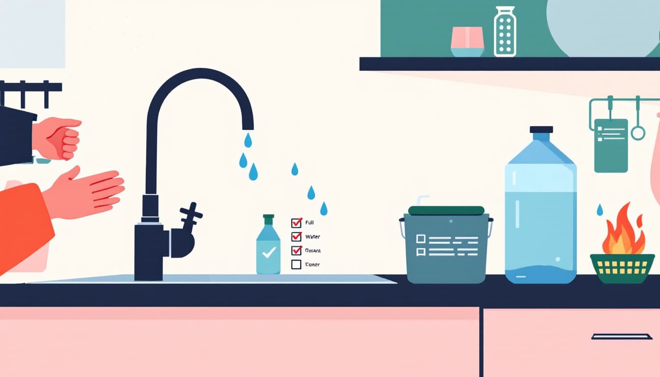
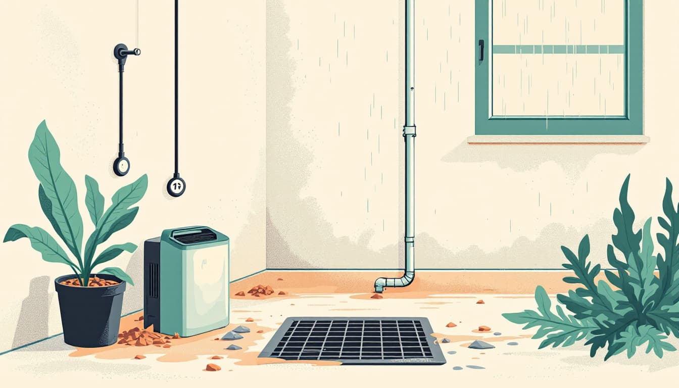
Walk your gutters and downspout extensions this week. Most foundation flooding in Washington homes doesn't come from rivers. It comes from clogged gutters that overflow against the foundation, and downspouts that terminate too close to the house. Clear the gutters, extend downspout discharge at least six feet from the foundation, and make sure your yard is graded away from the house. This is a Saturday morning, not a contractor.
Inventory what's in your crawl space or basement. Washington homes with crawl spaces are especially vulnerable to ground-level moisture intrusion during sustained rain. If you're storing documents, tools, or any irreplaceable items below grade, move them up or into waterproof bins. Mold establishes itself in crawl spaces within 24 to 48 hours of a moisture event. The stuff you leave down there is collateral.
Know your evacuation route from a flooding event, not just a fire. Most Washington households have thought about wildfire evacuation in recent summers. Flood evacuation follows different logic — water cuts roads from below, not above, and low-lying connectors go first. Look at your county's emergency management map (King County, Pierce County, and Lewis County all publish these) and identify at least two routes out of your neighborhood that don't cross a floodplain.
The bigger picture
The Gulf Coast storm in this week's Washington Post report will pass. The coverage will move on. But the households that fared worst in that event weren't caught by an unusually severe storm — they were caught unprepared for a routine one that behaved badly.
Washington's wet season is not a surprise. It arrives every year, on roughly the same schedule, in roughly the same places. The goal isn't to be ready for the worst-case scenario. The goal is to make the likely scenario manageable enough that your family can stay in place, stay dry, and stay functional. That's durability. That's the actual target.