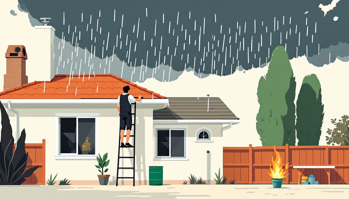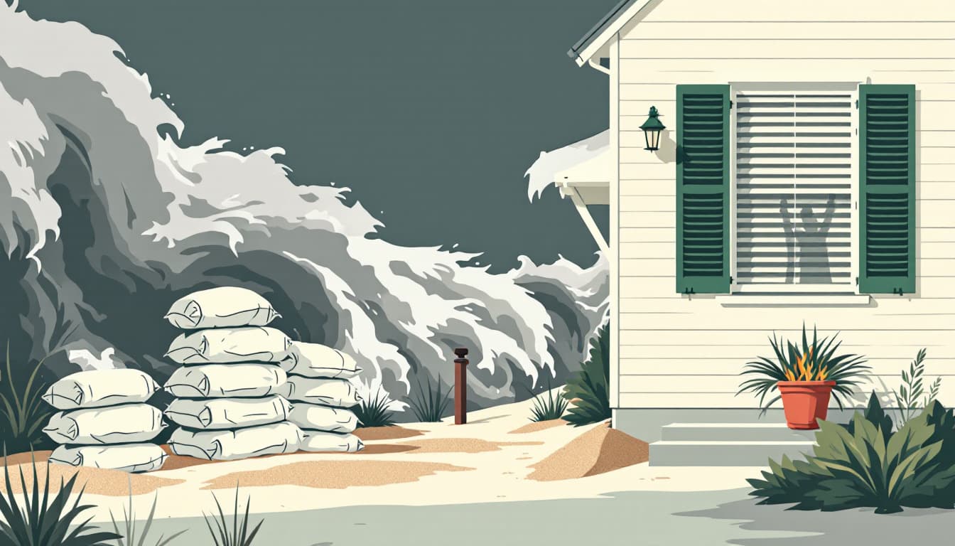
A report this week from ABC7 Los Angeles noted that Southern California is currently experiencing below-average temperatures, an unusual condition for early September in a region that typically bakes through late-summer heat events. The cooling pattern is expected to persist in the short term before giving way to moisture associated with Hurricane Marie, a Pacific storm system tracking toward the California coast and bringing with it the possibility of measurable rainfall across the greater Los Angeles basin and surrounding counties.
Hurricane Marie formed in the Eastern Pacific, a basin that generates tropical systems capable of brushing the Baja California peninsula and occasionally delivering remnant moisture into Southern California. While direct landfalls on the California coast from named Pacific hurricanes are extraordinarily rare, the outer circulation and moisture plumes from such systems have historically triggered flash flood watches, debris flows, and significant rainfall totals in areas from San Diego County north through Los Angeles and Ventura counties. The National Weather Service's Los Angeles office, along with the California Governor's Office of Emergency Services (Cal OES), monitors such systems for downstream precipitation impacts even when the storm's center remains well offshore.
For context that general weather coverage tends to omit: California's coastal and inland airsheds, along with its interconnected water infrastructure, respond to tropical moisture events in ways that can stress multiple systems simultaneously. The state's reservoirs — many managed under the authority of the California Department of Water Resources — can benefit from late-season rainfall, but burn scar areas throughout Los Angeles, Riverside, and San Bernardino counties from recent wildfire seasons dramatically elevate the debris flow risk when rain falls rapidly on denuded slopes. The Los Angeles County Flood Control District maintains a network of debris basins specifically designed to capture material during these events, though high-intensity rainfall can overwhelm capacity quickly. California's independent system operator (CAISO) also tracks major weather shifts, as sudden temperature drops combined with storm-driven generation disruptions can affect grid stability across the Southern California Edison and SDG&E service territories.