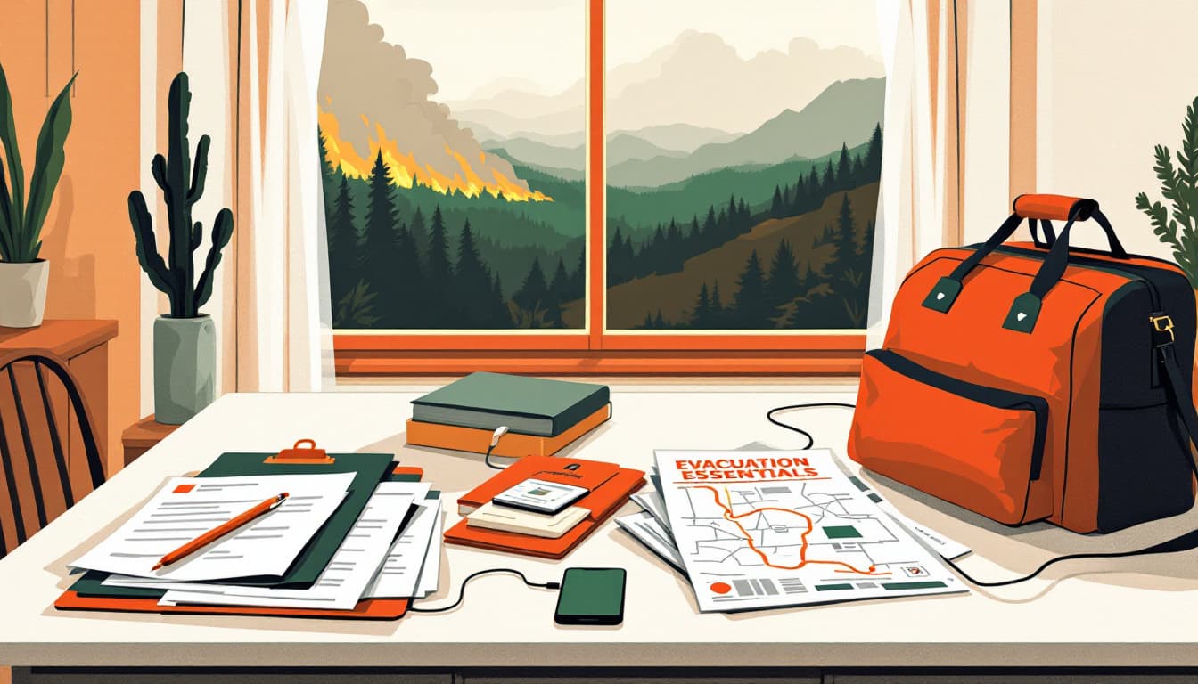
A wildfire threatening homes in Big Sur — reported this week by wbznewsradio.iheart.com — is not a headline that should surprise any California household. It should, however, function as a clock. The question is not whether fire will reach communities along Highway 1 or push inland toward Monterey County subdivisions. The question is whether families there, and across the state, have done the thirty minutes of work that would make a two-hour evacuation manageable instead of chaotic.
Most have not.
What's actually happening on the ground
Big Sur sits in some of the most fire-prone terrain in North America: steep canyons, coastal winds that shift without warning, and fuel loads that build during wet winters and ignite during dry summers. Cal Fire and the Los Padres National Forest manage a corridor that has burned repeatedly, and Highway 1 is both the only practical evacuation route and the road most likely to close first.
That geographic trap is not unique to Big Sur. The same logic applies to communities in the Santa Cruz Mountains, the hills above Oakland and Berkeley, the foothill towns of the Sierra Nevada foothills from Shasta to Mariposa, and the chaparral edges of San Diego and Ventura counties. The pattern is consistent: one road out, fast-moving fire, and residents who had more time to prepare than they used.
California's Office of Emergency Services maintains the MyHazards tool, which lets any household enter an address and see its specific wildfire, earthquake, flood, and tsunami risk scores. Most California families have never used it.
What we'd actually do
Pull your address in Zonehaven or your county's evacuation zone map and write the zone letter on your refrigerator. Most California counties now use Zonehaven or a similar tiered-zone system — Zone A evacuates first, then B, then C. Knowing your zone letter in the dark, without internet, is the difference between a calm departure and a panicked one. Look it up today, confirm whether your zone has changed since last year (they do get redrawn), and put it somewhere physical.
Time your actual evacuation route, including the alternate. Drive it once this month. Highway 1 closures in Big Sur are so routine that Caltrans maintains a dedicated page for them. If your household's mental model for leaving relies on a route that fire or traffic could cut in twenty minutes, you need a second option mapped and practiced. For most coastal and foothill Californians, this means identifying a route that goes in the opposite direction from the most likely fire approach.
Photograph or video every room in your home and upload it to cloud storage today. Insurance adjusters working after a fire work from documentation you provide. A five-minute walkthrough video stored offsite — not on a phone you grab on the way out — has settled claims faster and for more money than memory alone. This costs nothing.
Pre-position your important documents in one physical container you can grab in under sixty seconds. Passports, insurance declarations pages, vehicle titles, medication lists, a small amount of cash. Cal Fire's Ready, Set, Go program specifies this and the state's checklist is detailed and free. The container does not need to be elaborate — a gallon zip-lock bag inside a fireproof envelope works. The point is that it exists and everyone in your household knows where it is.
Sign up for your county's alert system, not just your phone's wireless emergency alerts. California's wireless alerts reach any phone in a geographic area, but county systems like AlertSCC (Santa Clara), Nixle, or county OES notification lists send earlier, more specific warnings — including evacuation warnings before they escalate to orders. Opt-in enrollment takes three minutes. Warnings from those systems can add twenty to forty minutes to your departure window.
The bigger picture
Big Sur will recover, as it has before. The homes lost in any one fire are a real and serious harm to real families, and that loss should not be abstracted into a talking point. But for the households watching the smoke from a hundred miles away, the function of this week's news is simple: it is a prompt, not a prophecy.
California has more public preparedness infrastructure than almost any other state — Cal Fire's free defensible space inspections, county OES resources, the MyHazards tool, the Ready, Set, Go curriculum. Most of it goes unused until the week after a fire, when it is temporarily too late. The families who fare best in evacuations are not the ones with the most gear. They are the ones who made a few decisions in advance and recorded them somewhere everyone in the house could find.
Durability does not require a bunker. It requires thirty minutes and a refrigerator magnet.