Bat Cave sits at a bend in the Broad River gorge in Henderson County, a stretch of western North Carolina where the terrain does exactly what the name suggests: it funnels water. A report this week from FOX Weather documented flash flooding slamming the small community, the kind of event that looks dramatic on video and then disappears from the news cycle within 48 hours. For people who live in the gorge — and for the tens of thousands of North Carolina households in similar river-corridor communities across the Blue Ridge and Piedmont — the disappearance from the news cycle is the problem.
What's actually changing
Western North Carolina sits in one of the most flash-flood-prone regions in the eastern United States. The topography is the mechanism: steep-walled gorges like the one containing Bat Cave accelerate and concentrate runoff that would spread out gradually on flatter ground. Rainfall totals don't have to be record-breaking to produce dangerous flooding in these valleys. A slow-moving storm cell dropping two inches over a few hours upstream can translate to a wall of water downstream in under an hour.
What has shifted is exposure, not hazard. More households have moved into Henderson, Polk, Rutherford, and Transylvania counties over the past decade, drawn by scenery, affordability relative to Asheville, and remote-work flexibility. Many of those buyers purchased in floodplains without a clear picture of their actual risk. FEMA's flood maps, which determine whether a mortgage lender requires flood insurance, are widely acknowledged to be outdated in steep-terrain states like North Carolina. A home outside the mapped 100-year floodplain in a gorge community can still flood regularly.
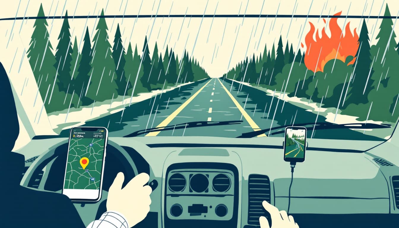
The other shift is warning time. The National Weather Service office in Greenville-Spartanburg covers much of western North Carolina and issues Flash Flood Warnings that may give households as little as 15 to 30 minutes before conditions become life-threatening. That is not enough time to make decisions. It is only enough time to execute decisions you already made.
What we'd actually do
Check your actual flood history, not just your FEMA zone. Go to the NC Floodplain Mapping Program site and look up your parcel. Then cross-reference with FEMA's Flood Map Service Center. If your address is in or near a Special Flood Hazard Area in a gorge or creek-bottom community, assume the map is optimistic. Talk to neighbors who've been there 20 years. Local memory is a data source.
Get flood insurance quotes now, before a named storm is within 500 miles. Standard homeowners policies do not cover flood damage. FEMA's National Flood Insurance Program has a 30-day waiting period before coverage takes effect, which means a quote you request today is worthless if a flood hits next week. The time to buy is a quiet week in late May — exactly like this one. Even if you're outside the mapped floodplain, premiums for lower-risk properties are often under $500 annually and have paid out for households that "shouldn't" have flooded.
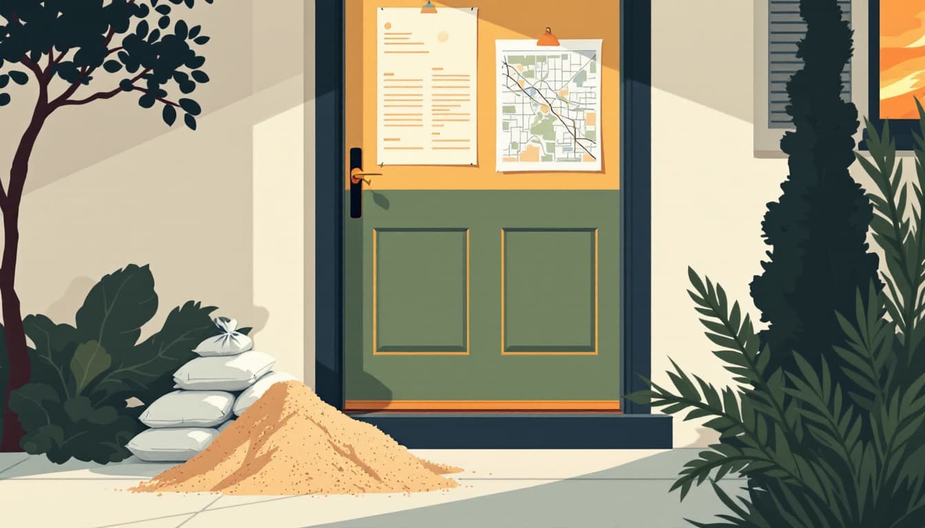
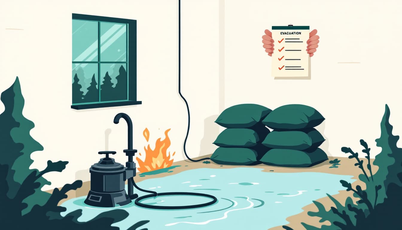
Build a 90-second evacuation trigger. The single most useful preparedness action for flash-flood-prone households is deciding in advance what condition causes you to leave — not "if it gets bad" but a specific physical signal. That might be: water touching the lowest step of your porch, or the creek behind your property reaching a specific rock or tree. Write it down. Tell everyone in the household. When that trigger is met, you go. You do not wait for a phone alert. You do not finish the dishes.
Know your two routes out and which one floods first. In gorge communities, roads frequently flood before homes do, cutting off evacuation. Pull up your county's road network on a map and identify which of your two most likely exit routes crosses lower ground. That one closes first. Practice the alternate.
Keep a go-bag that assumes road flooding, not just house flooding. A standard 72-hour kit assumes you can drive. In a flash flood scenario, you may need to move on foot to higher ground for a few hours before roads reopen. That bag should be lighter — water, a phone battery bank, medications, copies of insurance documents, and shoes you can actually walk in.
The bigger picture
Bat Cave will recover. It always has. The gorge communities of western North Carolina are resilient, and most people who live there understand the tradeoff they've accepted. The goal isn't to scare anyone out of a home they love in a landscape that genuinely is extraordinary. The goal is to close the gap between the risk people have accepted and the preparation they've actually done. Those two things are often far apart, and flash flooding — fast, localized, and poorly mapped — is exactly the hazard that punishes the gap most severely.
Durability looks like a household that has made its decisions before the rain starts.